
A survey of the Toaroha
In 1906, New Zealand Geological Survey topographer R. P. Greville described the snow-fed Toaroha River and its tributaries. He placed Mount Ross and Mount O’Connor west of the river, with Mount Chamberlain and Mount Bannatyne to the east.
Two measurements taken after periods of dry weather in 1906 put the flow at about 12.5 and 12.3 cubic metres per second. The Geological Survey published the figures in 1907 while assessing the valley’s potential for water power.
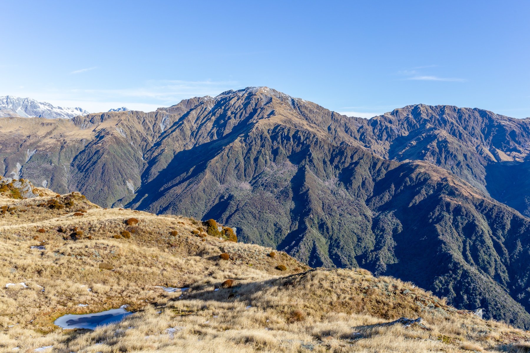
Mount Ross on the Diedrichs Range
In 1999 the New Zealand Geographic Board corrected the spelling of the range from Diedrich Range to Diedrichs Range. The decision described the ridge by naming Jumble Top, Mount O’Connor and Mount Ross.
The New Zealand Alpine Club describes a tussock-covered ridge linking Mount Ross and Toaroha Saddle. The rougher ground lies northwest of the peak, toward Mount O’Connor.
The summit on the map
Land Information New Zealand records the summit in Westland. Its mapped position agrees with the summit in the New Zealand amateur-radio directory, which lists 1,768 metres. Copernicus elevation data puts the same area at a similar height, about 1,765 metres.