
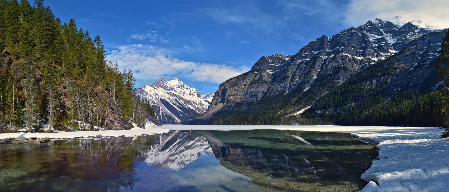
Park and Watershed
British Columbia established Mount Robson Provincial Park in 1913 to protect the headwaters of the Fraser River, making it the second-oldest provincial park in the province. In 1990 the park was incorporated into the Canadian Rocky Mountain Parks World Heritage Site, joining a UNESCO group designation for the broader Rocky Mountain corridor. The valley corridor spans an ecological gradient from lower cedar and hemlock forests through subalpine zones and into alpine tundra, with glaciers and rivers continuing to shape the terrain.
Naming and Survey
In 1907, University of Toronto geologist Arthur Philemon Coleman named the lake for his climbing companion George Kinney, and Arthur Oliver Wheeler recorded it on his 1911 survey map before the name became official through the BC Geographical Names Office on April 2, 1912. The 1911 photo-topographic expedition in the Mount Robson area, backed by the Alpine Club of Canada and the Smithsonian Institution and led by Wheeler with Kinney as assistant, produced 237 images of the region. A century later, the University of Victoria Mountain Legacy Project conducted repeat photography at four of Wheeler's survey stations in 2011 and 2012 to document landscape change.
2021 Flood and Reconstruction
In late June 2021, a heat dome drove rapid snowpack and ice melt above the valley, compounded by rain, damaging bridges and trail infrastructure along the Berg Lake Trail corridor. The section from the trailhead to Kinney Lake campground was repaired and reopened in 2023. In 2024, the segment from Kinney Lake to Whitehorn campground reopened with a rerouted trail alignment and new bridges at the far end of Kinney Lake and across the Robson River, with sections further upstream rebuilt to move portions out of floodplain areas.