
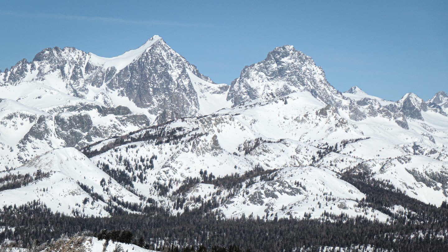
Named for a German Geographer
The Whitney Survey named the mountain for Karl Ritter, the German geographer associated with comparative geography. Clarence King made an attempt on the summit that Farquhar records as falling short, probably in 1866, leaving the peak unclimbed by any documented party at that point.
Muir's October 1872 Ascent
John Muir's ascent in October 1872 is traditionally regarded as the earliest recorded climb of Mount Ritter. His first-person account, published in The Mountains of California, describes a difficult passage on exposed rock and ice on the mountain's flank. The account attends closely to the character of the terrain.
Rock Structure and the Range
In his Studies in the Sierra, Muir used Mount Ritter and its surroundings to illustrate how rock joints shape pinnacles and ridgelines. That observation placed Ritter within a broader argument about Sierra Nevada geomorphology, connecting the angular forms of high Sierra crests to underlying fracture patterns in the rock. The sharp ridges Muir described historically around Ritter and Banner Peak belong to the same Ritter Range landscape his geological writing sought to explain.