
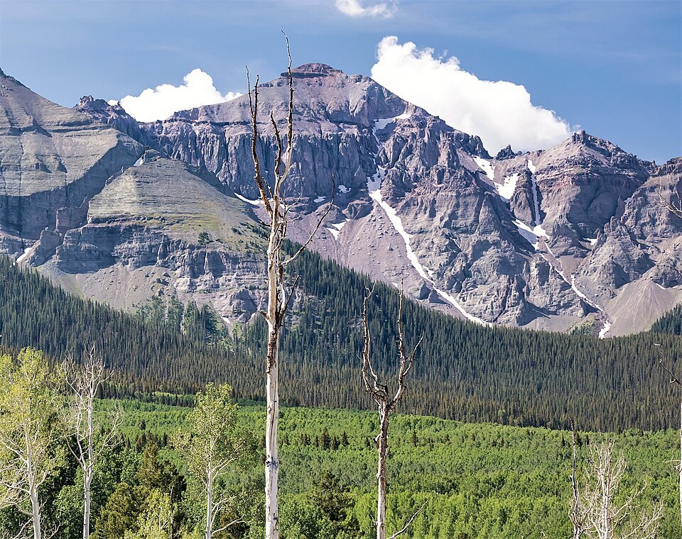
Position and Geological Setting
The USGS topographic quadrangle places Mount Ridgway as a distinct summit occupying a ridge segment between two established peaks. The mountain's position on the crest separating drainage systems gives its northern and southern flanks contrasting terrain, a distinction the USGS primitive-area geological field assessment reflects when it identifies the Dallas Creek and Mount Sneffels–Red Mountain subdivisions along these ridges and headwater valleys.
That geological assessment of the Uncompahgre Primitive Area maps the broader San Juan volcanic region in subdivisions linked to drainage and ridge structure rather than individual summits. Mount Ridgway sits within this framework as one node in a system of connected crests, though the survey does not assign the summit's specific surface outcrop to a named geologic unit or place its location definitively within a single subdivision boundary.
Naming and Survey Record
The USGS Geographic Names Information System records the summit as Mount Ridgway at the confirmed coordinates. The USGS survey places the peak at approximately 4,105 meters, and the Denver Public Library's historic place-name catalogue records a height of 13,468 feet, which converts to approximately 4,105 meters, the two figures agreeing at that precision.
Blue Lakes Landscape and Surrounding Management
In 2024 the USDA Forest Service released a landscape assessment and management proposal covering the Blue Lakes area adjacent to Mount Ridgway, with the Forest Service's record showing an August 29, 2024 decision on the Blue Lakes Visitor Use Management Plan. The proposal addresses visitor pressure across a terrain unit that includes part of the adjacent Mount Sneffels Wilderness.
The scope of that plan is the Blue Lakes landscape rather than the summit itself, and the environmental review examines how increased use across the broader area interacts with existing wilderness designations without specifying summit-level management measures.