
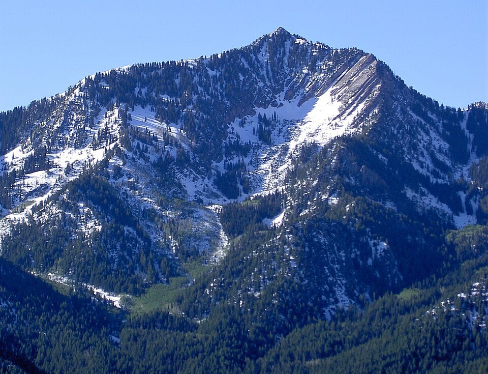
The Raymond Thrust Fault
The Mount Aire quadrangle map identifies the Mount Raymond thrust fault between Raymond and Gobblers Knob, a distinct summit on the same ridge across the intervening saddle. Fault movement is interpreted at roughly 65 million years ago, a compressional episode that drove older rock bodies over younger underlying beds. That age marks the interpreted timing of deformation, not the ages of the rock formations themselves.
Glacial Till in Mill A Basin
Below the peak, the state geological guide identifies glacial till in Mill A Basin, an unsorted mixture of rock and sediment deposited directly by a moving glacier. This material represents a distinct episode in the landscape's history, long after thrust faulting had ceased, and its presence documents ice occupation of the terrain during the Pleistocene.
Summit and Saddle
The 1965 geologic quadrangle map labels both Mount Raymond and Gobblers Knob, establishing them as distinct named summits separated by the intervening saddle. Contour data from that mapping places the two crests in close proximity along the same ridge system, while field evidence of the thrust fault and glacial till provides physical documentation of the separate events recorded in the terrain.