
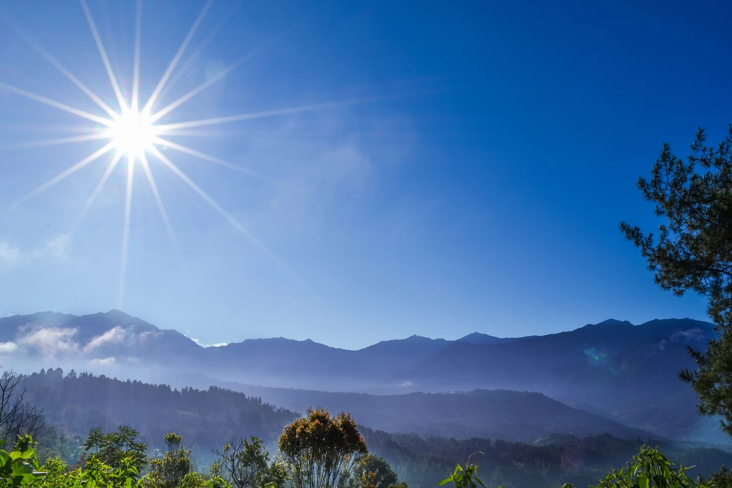
Latimojong Range and Summit
The Latimojong Range forms the spinal highland of South Sulawesi, and Rantemario is its highest point at 3,478 m. Botanical fieldwork has documented a vertical sequence from valley forest through upper montane vegetation into subalpine and tropalpine zones as elevation increases toward the summit.
1969 Botanical Survey
A botanical survey team reached the Rantemario summit on 21 October 1969, as recorded in the expedition's published account. The team collected plant specimens from valley forest upward through montane and subalpine elevations across the Latimojong Range, producing voucher material that entered the herbarium record.
Herbarium Vouchers and Flora
A taxonomic revision of Sulawesi's Cyrtandra, a genus in the family Gesneriaceae, references specimens from Rantemario with collection dates from 1929 and as recently as 2009. Cyrtandra floccosa is directly tied to voucher material from the summit area, giving it a verifiable specimen record from the mountain.