
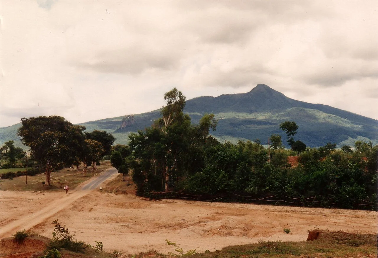
Volcanic Structure and Rock Record
The GVP classifies Popa as a composite volcano whose mass rises from a surrounding lava plateau. Field observations in the GVP database document both basalt and andesitic rocks distributed across the volcanic complex. Taung Kalat forms a structurally distinct plug on the west-southwest flank, rising separately from the main summit cone.
Eruptive History
The GVP's Holocene record gives Mount Popa a latest confirmed eruptive age of approximately 6050 BCE, an interpreted eruption date drawn from available geological evidence. A traditional Burmese account associates a 442 BCE eruption with the mountain; the GVP programme records this date in the legend category of its eruptive history database.
Popa Mountain Park and Herbarium Collections
Popa Mountain Park encompasses Taung Kalat and the approaches of the main cone. Smithsonian herbarium records document plant specimens collected along a route from Popa village toward the Maung Taw shrine and Taung Kalat, capturing botanical diversity across this elevational corridor of the volcanic landscape.