
A Name Borrowed from Tuscany
In 1857, surveyor J. T. Thomson and Alexander Garvie assigned the name Mount Pisa to the summit, drawing on a perceived resemblance between a local rock formation and the Leaning Tower of Pisa. The New Zealand Gazetteer records this origin, fixing a name that connects Central Otago tussock country to a medieval Italian campanile.
Fault-Block Geology and the Shape of the Range
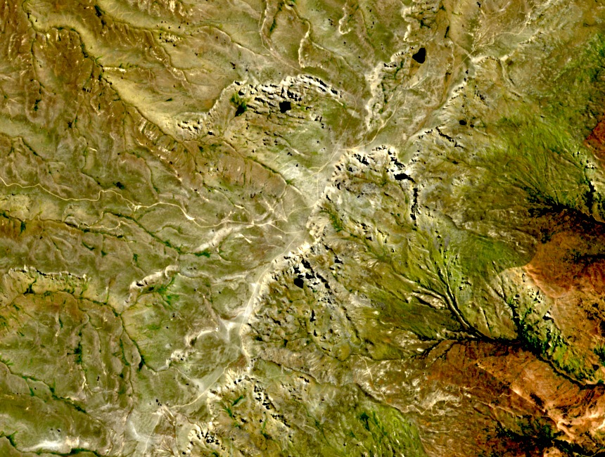
The Department of Conservation identifies the Pisa Range as the highest of Central Otago's fault-block mountains. Uplifted along geological faults rather than folded, the range has characteristically broad, plateau-like tops. Mount Pisa's summit crowns this elevated terrain of tussock grassland and schist outcrops, offering expansive views across the Otago interior.
Gold-Rush Traces on the High Country
The broader Pisa high country retains physical evidence of nineteenth-century gold mining in the Criffel diggings area. DOC records hand-excavated channels, tailings, and dwelling remains from high-country alluvial operations during the Otago gold rushes. This mining heritage belongs to the wider range, not to Mount Pisa's summit specifically.