
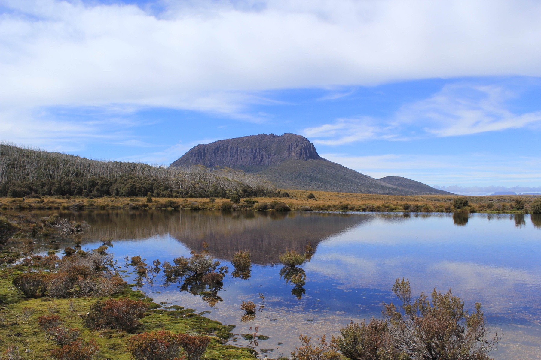
Geology and Summit Form
The resistant dolerite makes up the blocky cap of Pelion West. Geologists have traced similar intrusions across the Cradle Mountain area, where the rock cuts across older layers of sandstone and other sedimentary rock.
Mineral Workings and Speculation
A 1901 report by Tasmania’s Secretary for Mines describes trenches and a tunnel about six metres long in a coal seam on the eastern slope. The examining geologist doubted its commercial value because of its high sulphur content.
A 1921 Adelaide Oil Exploration Company promotion featured a photograph of Mount Pelion West alongside an oil claim. Mining historian Nic Haygarth traced the report behind the claim to workings at neighbouring Pelion East. He found the company’s announcement of a major discovery was erroneous.
The Overland Track and Old Pelion Hut
On the stretch from Lake Windermere to Pelion, the Overland Track passes beneath the mountain. Across the open Pine Forest Moor, the blocky silhouette is a landmark above the trees and low vegetation.
Old Pelion Hut, built for miners in 1917, survives alongside the track as a record of prospecting in the area.
Alpine Flora of the Eastern Shoulder
On 5 January 1993, A.M. Buchanan collected Orites acicularis, or yellow bush, at about 1,400 metres on the mountain’s eastern shoulder. The Tasmanian Herbarium’s record describes its habitat as a slope of alpine dolerite boulders.