
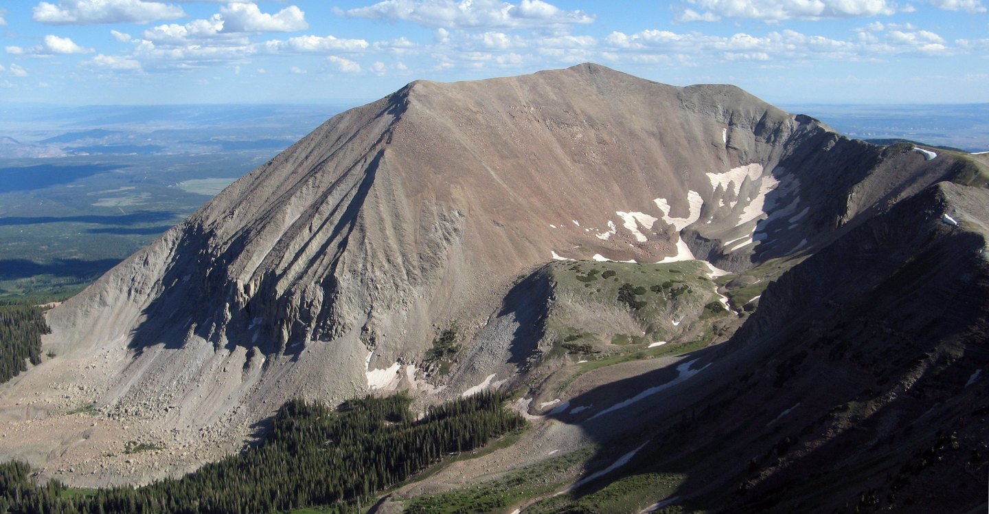
A Laccolith at the Heart of the La Sals
The central La Sal Mountains formed as magma forced its way between existing rock layers rather than breaking through the surface, then hardened into a resistant mass. Erosion stripped the overlying rock over time, leaving the igneous core as the high terrain visible today, with Mount Peale at its center.
Cirques, Rock Glaciers, and Alpine Turf
The Forest Service inventory of the area documents cirque basins, rock glaciers, talus fields, and alpine turf among the landforms present at the range scale around the peak.
The Mount Peale Research Natural Area
The current U.S. Forest Service research station inventory records 1988 as the establishment date for the Mount Peale Research Natural Area, which protects representative examples of alpine habitats and subalpine fir for scientific study.