
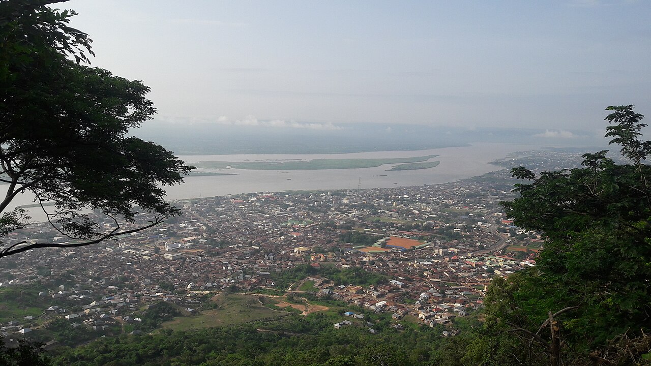
Plateau Above the Niger–Benue Confluence
The hill's flat summit looks directly over the confluence of the Niger and Benue rivers at Lokoja, one of the most geographically significant junctions in West Africa. This elevated position shaped the site's role in colonial administration, giving observers on the plateau a clear view of river traffic and the town below.
Lugard's Rest House and the Military Plateau
The National Library of Nigeria holds a catalogued photograph of a colonial-era rest house on the mountain associated with Frederick Lugard, the British administrator who governed Northern Nigeria in the early twentieth century. Historical research further identifies a military observation site and armoury on the plateau, reflecting the hill's strategic function during the period of British administration documented in the Northern Nigeria Gazette archives of 1910.
Lokoja's Landscape as Colonial Archive
A University of Leeds study on Lokoja examined the town's surviving buildings and terrain as material records of trade, missionary activity, and colonial administration. Mount Patti figures within that broader landscape, its plateau structures contributing to what researchers describe as a layered physical record of Nigeria's nineteenth- and early twentieth-century history.