
Volcanic Character and the 1989 Gas Report
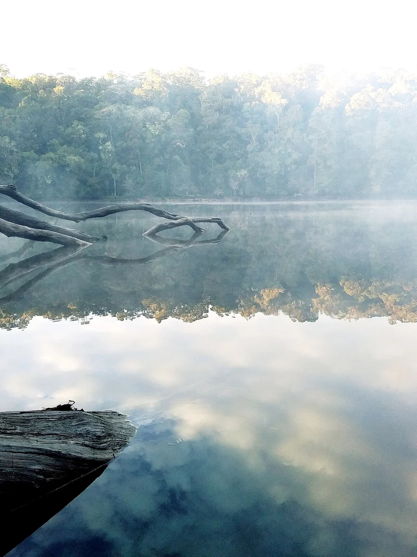
The Smithsonian Global Volcanism Program catalogues Mount Patah as a volcanic centre. In May 1989 a British cargo pilot reported a gas release from a crater approximately six kilometres southeast of the summit. The GVP record treats this as a pilot observation, not a confirmed eruption. Danau Tumutan Tujuh, a volcanic lake, lies within the Gunung Patah massif.
Bukit Raje Mandare Lower-Forest Survey
Between 17 April and 4 May 2016, Muhaimin and colleagues published in a Biodiversity Society of Indonesia study documenting plant species composition in the lower forest of Bukit Raje Mandare on Mount Patah's flanks. Data plots were established at roughly 650 to 700 metres elevation, recording the floristic character of the mountain's foothill forest zone.
Provincial Setting in the Bukit Barisan
Indonesian national historical geography places Mount Patah within South Sumatra, on the border with Bengkulu province. The mountain occupies a transitional zone between the Indian Ocean coastal lowlands to the west and the interior plateaus of central South Sumatra, with Dempo positioned to the northwest along the same Bukit Barisan volcanic chain.