
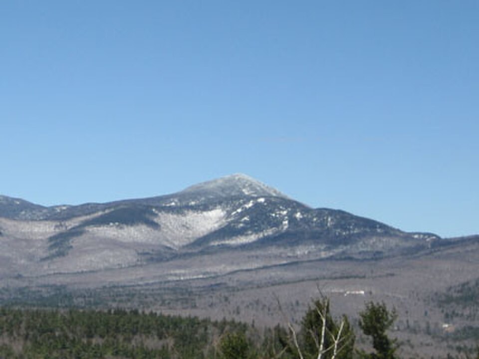
The Pennacook Name
The New Hampshire Historical Society records Papisseconewa as a prominent Pennacook sachem whose name, rendered in English as Passaconaway, was applied to this summit. The Pennacook were a confederacy of Algonquian-speaking peoples whose territory centered on the Merrimack River valley. Courts and historical institutions in New Hampshire have drawn on this association when documenting the region's pre-colonial history.
The persistence of the name on federal maps and in local usage connects the summit to a broader record of Pennacook presence in what is now New Hampshire, without reducing that history to a single biographical account.
Community Trail-Building and Early Infrastructure
In the late nineteenth century, Kate Sleeper's local initiative helped open the mountain to visitors, an effort the Forest Service situates within the wider development of trails across the Sandwich Range. The Wonalancet Out Door Club, organized in 1898, took on a sustained role in that work. Charles E. Fay and Nat Berry are credited in the Forest Service record with constructing an early trail on Passaconaway and building the first shelter on the mountain, later known as Camp Rich.
Kate Sleeper operated a farm and inn in Wonalancet and invited Charles E. Fay to organize a crew to establish the summit trail. The Wonalancet Out Door Club continued that work after its 1898 organization. The Forest Service record identifies Camp Rich as having also been known as Passaconaway Lodge, connecting the shelter to the broader history of access on this mountain.
The Bowl Research Natural Area
Below the high crest, in the Wonalancet Brook catchment, lies the Bowl Research Natural Area. The Forest Service established this site in 1991, designating it for ecological study rather than creating a public park. Within the area, the Forest Service has identified old-growth trees in portions of the site, with some individuals estimated at around 400 years old or older.
The Bowl covers approximately 206 hectares, spanning an elevation range of roughly 579 to 1,215 m within the Wonalancet Brook drainage. The southern portion supports spruce while lower stands are hardwood, and the old-growth designation applies to documented portions of this research area, not to the mountain as a whole.