
The Ridge and the Gulch
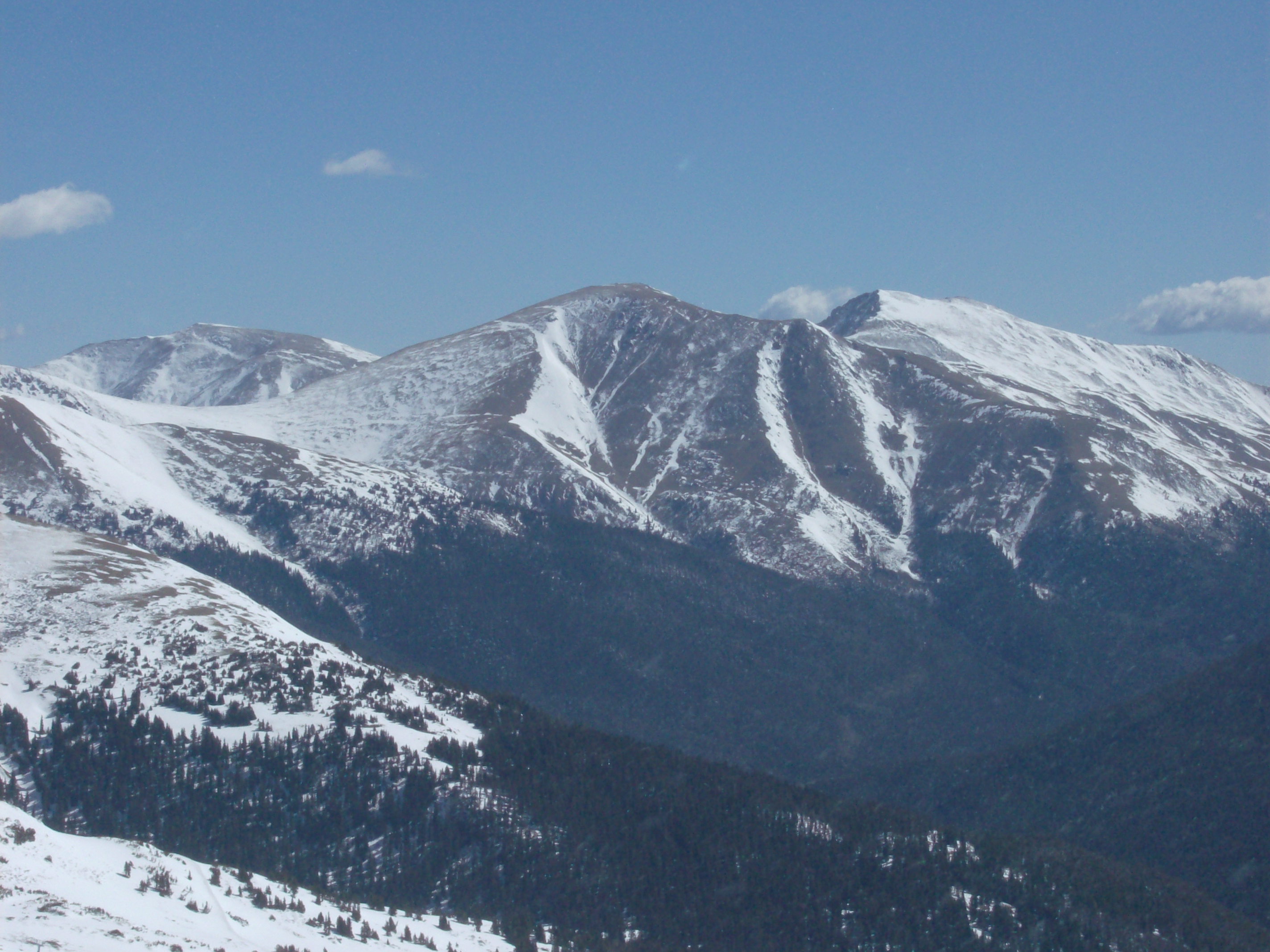
The Colorado Mountain Club gives the summit elevation as 13,580 feet (4,139 m). The USGS Grays Peak map labels Parnassus and Bard as separate summits on the same east–west ridge. From Loveland Ski Area, snow in the upper gullies contrasts with the forest lower down.
The Watrous Gulch Debris Flow, 28 July 1999
On the afternoon of 28 July 1999, a thunderstorm over the region triggered what USGS later inventoried as approximately 480 debris flows across the central Front Range. On Mount Parnassus, the event began in narrow rills on the bare, above-treeline portion of the south flank. The flow ran approximately 2.5 kilometres down Watrous Gulch, scouring the channel to depths of several metres in places and incorporating rock and soil material as it descended, before depositing roughly 26,400 cubic metres of debris where the gulch meets Interstate 70.
The highway stayed closed for about 25 hours. After the storm, USGS researchers mapped the debris from aerial photographs and examined the freshly exposed channel on the ground. The field guide pairs photographs of rills high on the slope with the fan of boulders and finer sediment that spread across I-70.
A 1948 Snow Slide and the Question of Attribution
The Georgetown Courier of 26 March 1948 attributed a snow slide onto a highway near Loveland Pass to Mount Parnassus and reported that a crew cleared it in about 20 minutes. When the US Forest Service reviewed the report in 1999, its researchers identified the Bard Shoulder path west of Thompson Gulch as the probable source.
The seasonal snow avalanche and the summer debris flow show two ways material has reached the road from this ridge. The later event left fresh channels and deposits that researchers could follow back up the slope.