
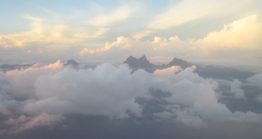
The geology of Tahiti Nui and Orohena's place within it
Tahiti is composed of two distinct volcanic edifices: Tahiti Nui, the main and higher part, and Tahiti Iti, the southern peninsula, separated by the isthmus of Taravao. Orohena is set within the mountainous landscape of central Tahiti Nui, whose relief is the product of a long history of erosion following the initial volcanic construction. The valleys radiating outward from the central massif have been deeply incised over time, giving the island's interior its character of a natural fortress with precipitous flanks.
The central caldera of the main island is drained by the Papenoo river system, one of the most significant rivers on Tahiti. Orohena stands apart from the floor of this valley and from the geometric centre of the former caldera — an important geomorphological distinction that places the summit as a high point on the volcanic rim rather than the focus of the original eruptive activity. There is no indication of any current volcanic activity in this massif.
A sovereign summit in its Polynesian context
At 2,241 metres, Orohena surpasses all other peaks in the Society Archipelago and throughout the French Polynesian territories. This altitudinal supremacy gives it a particular status: it is the roof of a territory scattered across millions of square kilometres of the Pacific Ocean, where virtually all land lies only a few metres above sea level. The contrast between the flatness of the surrounding atolls and this summit at over two thousand metres encapsulates in itself the geological diversity of French Polynesia.
Tahiti itself, seen from the sea, presents a pyramidal profile of which Orohena forms the apex. This silhouette guided traditional Polynesian navigation long before altimetric measurements came to confirm this summit's primacy. Tahiti Tourisme explicitly distinguishes Orohena from the more accessible viewpoints and hiking circuits described on the island, underscoring that the summit belongs to a category apart among Tahiti's natural landmarks.
Erosion and the shaping of the central relief
The present profile of Orohena and its spurs is the result of intense erosion that has worked on the basaltic shield since the extinction of volcanism. The deeply incised valleys that cut into the Tahiti Nui massif, of which the Papenoo catchment offers the most spectacular example, bear witness to the power of hydrological processes in a humid tropical environment subject to high rainfall totals. These incisions have progressively isolated ridges and summits, accentuating the highly dissected character of the central relief.
The geomorphology of Tahiti Nui can thus be read as a superimposition of two timescales: the rapid construction of the volcanic edifice, followed by its long degradation through fluvial and gravitational erosion. Orohena, as the most resistant point of that edifice, represents what remains of the original dome after millions of years of progressive dismantling — a testament both to the constructive power of central Pacific volcanism and to the patience of tropical erosion.