
Geology of the Summit and Northern Slope
An earlier USGS survey observed granitic terrain in the zone between Four Peaks and Mount Ord, with a transition into schist and slate on Mount Ord's northern slope.
Army Heliograph Station
The summit's prominence made it a U.S. Army heliograph station in the late nineteenth century. The instrument worked by reflecting sunlight to other mountain stations across the region, enabling long-distance optical communication across the central Arizona ranges.
CCC Construction and Fire Detection
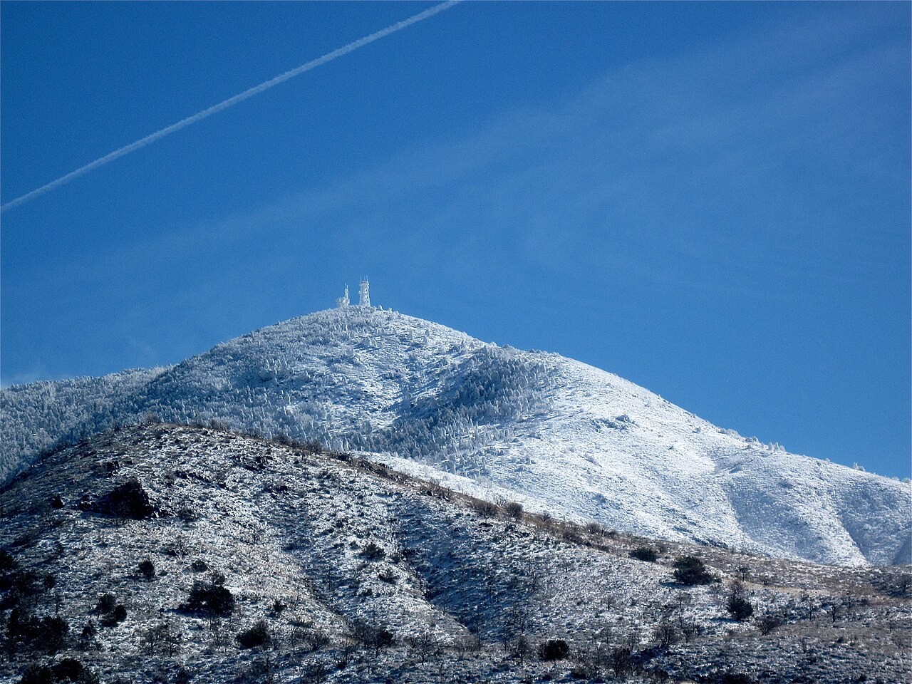
During the 1930s the Civilian Conservation Corps built a summit approach and erected a steel fire tower on Mount Ord. Arizona Highways reported in December 1937 that improvements to fire detection had followed fires in the area. The Arizona Trail Association records that the lookout was replaced in 1983, and summit towers are visible in a 2009 photograph.