
Summit and Basin
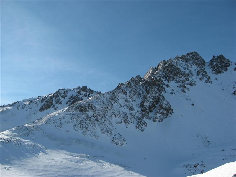
The ski field sits in a bowl on the southern side of the range. The Ryton Valley lies below the surrounding ridges, and a saddle called the Sphinx is visible from the club’s lodge. In the July 2008 photograph, Mount Olympus rises at the left of the snowy ridge.
The Club's Choice
The Windwhistle Winter Sports Club started in 1932 with ice skating on Lake Ida. In 1948 the club chose Mount Olympus as the nearer of two sites it had considered for skiing. Members established a hut at the foot of the field.
The Rope Tow and the Photographic Record
In 1952, ten men and two women carried the main tow rope by hand on the final stretch from Monck’s Flat. An early hut and skiers appear in Leslie Cleveland’s photographs from around 1953, preserved by the National Library of New Zealand.