
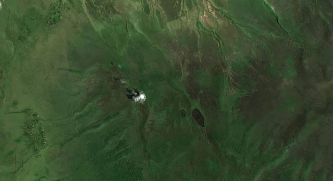
Position in the Crater Highlands
Dawson's mapping places Olsirwa approximately 6 km west of the higher Loolmalasin summit, separated from it by a low saddle. The regional figure published by Żaba and Gaidzik (2011) shows Losirua positioned east of Olmoti and south of the Embulbul depression and the Embagai (Empakaai) caldera, giving it a distinct footprint within a cluster of better-known volcanic landforms.
Summit Rocks and Structural Features
Dawson identifies basalt and trachyte as the dominant rock types at the Losirua summit, accompanied by agglomerate, a rock made of coarse volcanic fragments. North–south fault scarps dissect the summit zone. Żaba and Gaidzik discuss two small caldera forms at the site, an interpretation they attribute to Pickering, and describe a fault-related valley running between Losirua and Loolmalasin.
The Oljoro Nyuki Drainage
Deocampo (2004) identified springs on Olsirwa as the source of the Oljoro Nyuki stream, which descends through an incised channel cut into the northeast wall of the Ngorongoro caldera before reaching the caldera floor. That study documented a resumption of flow following the 1998 El Niño rains and a subsequent return to drying conditions. The nearby Munge stream begins in the Olmoti crater and enters Ngorongoro through a separate channel.
Tephra Research and the Olduvai Basin
A paper presented at the 2012 PaleoAnthropology Society meeting identified Olsirwa as one of several candidate volcanic sources for a younger set of tephra layers found in the Olduvai (Oldupai) basin. The researchers treated this as a working hypothesis, noting that additional data on eruption ages and chemical composition would be required to distinguish Olsirwa from other volcanoes with similar signatures in the region.