
Volcanic Composition and Dated Lava Samples
Geochemical research by McHenry and colleagues at Rutgers University places Oldeani's lavas in a compositional range from basalt to trachyandesite, with dated samples falling between approximately 1.6 and 1.5 million years. This range distinguishes Oldeani's rock types from those of neighboring Ngorongoro Crater and contributes to understanding how the volcanic centres of the Crater Highlands relate to one another structurally.
Position Relative to Ngorongoro Crater and Rift Topography
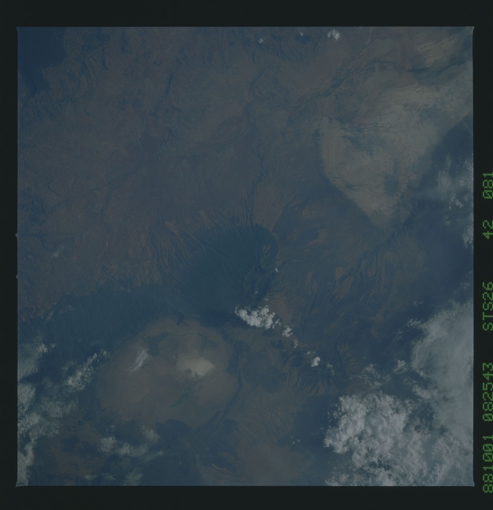
NASA astronaut photography from mission STS-26 in October 1988 shows Oldeani near the center of the frame, with Ngorongoro Crater visible to the northeast. The image illustrates the spatial relationship between Oldeani's forest-covered southwestern slopes and the open caldera landscape beyond, set against the broader eastern African rift topography documented in that photographic record.
Conservation Area Designation and Highland Setting
The Ngorongoro Conservation Area, as recorded by UNEP-WCMC, encompasses Oldeani within a protected landscape that extends across the Crater Highlands. The area holds dual World Heritage status for both natural and cultural values. Oldeani's elevation and forested cover contribute to the hydrological and ecological character of the highland zone acknowledged in the conservation area designation.