
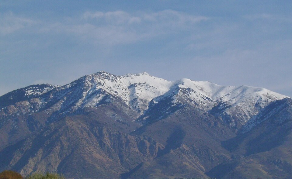
A University Tradition on the Summit
Weber State University records a student hike to the Mount Ogden summit dating to 1922, when participants carried a flagpole to the top and marked the mountain with the letter W. The university gives the summit elevation as 9,570 feet. The institution considers this hike part of its founding history, though the record does not confirm the event has been held without interruption in every subsequent year.
Olympic Speed Events at Snowbasin
The Snowbasin ski area occupies terrain on the eastern side of the Mount Ogden landscape and served as the venue for men's and women's downhill, super-G, and alpine combined races during the Salt Lake City 2002 Winter Olympics. The mountain's elevation and sustained vertical drop provided the gradient required for those speed disciplines. The Olympic course starts were situated on resort slopes, with the geographic summit standing as a separate point above the race terrain.
Position in the Northern Wasatch
At roughly 2,917 meters, Mount Ogden is among the more prominent summits in the northern section of the Wasatch Range, a portion of the range that rises directly above Weber County's populated valley floor. The USGS GNIS summit record anchors its coordinates at approximately 41.1998°N, 111.8821°W, distinguishing this Weber County peak from its Garfield County namesake to the south.