
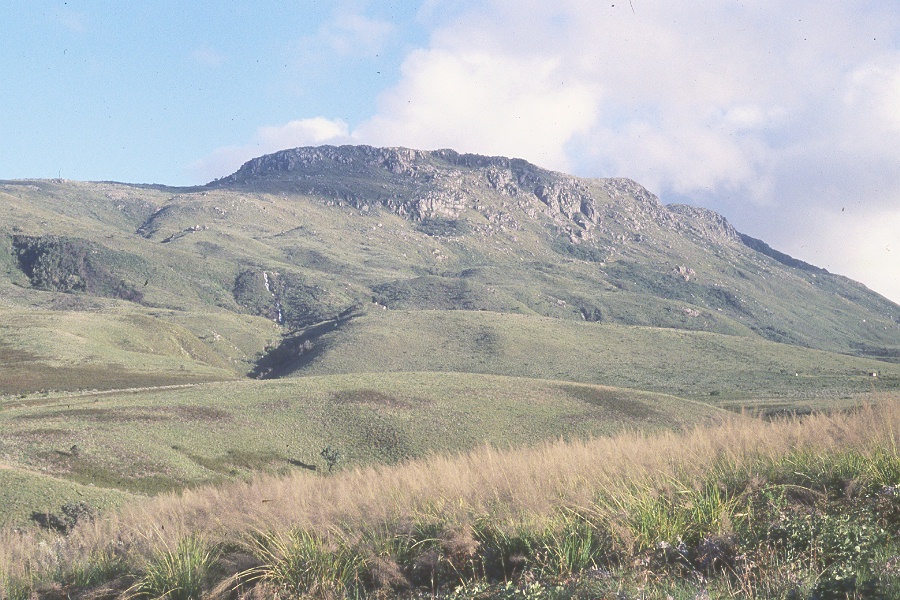
Dolerite Summit Cap and Eastern Escarpment
The summit plateau is defined by a dolerite sill, an igneous intrusion that cuts horizontally through the older country rock. East of the summit, the escarpment drops dramatically toward the Honde Valley, whose floor lies near 900 m. This abrupt transition is among the most pronounced topographic steps along Zimbabwe's eastern highland edge, as described in Nyanga National Park records held by the Zimbabwe Parks and Wildlife Management Authority.
Headwaters of the Gairezi, Nyangombe, and Pungwe Rivers
The Nyanga highlands give rise to three significant river systems: the Gairezi, the Nyangombe, and the Pungwe. These rivers drain outward from the highland massif into lower-lying regions, making the area one of the more consequential watershed zones in eastern Zimbabwe. Their headwaters lie within or adjacent to Nyanga National Park, as documented in the park's official management profile.
Blue Swallow Habitat in Nyanga Montane Grasslands
The montane grasslands of the Nyanga highlands provide documented habitat for the blue swallow, Hirundo atrocaerulea, a migratory species of conservation concern across southern Africa. BirdLife Zimbabwe identifies this species in its Nyanga Mountains field profile as a characteristic bird of the open highland grassland environment, dependent on the short-grass areas that persist across the broader massif rather than the summit itself.