
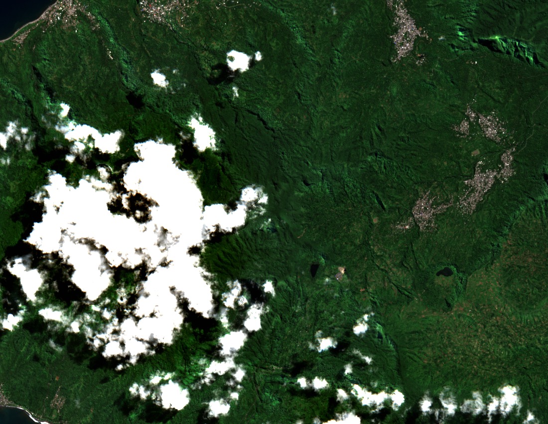
Ramsar Wetland and Forest Catchments
The Mont Ntringui wetland was inscribed on the Ramsar List of Wetlands of International Importance in 2006, covering approximately 3,000 hectares. The designation recognises the mountain's river catchments as sources of permanent freshwater for Anjouan's population. Forest cover across these basins regulates water flow and maintains the hydrological conditions on which the Ramsar site depends.
Key Biodiversity Area: Ntingui, Trindrini, and Dzialandzé
The KBA designation covers native forest in the immediate surroundings of Ntingui and the neighbouring peak of Trindrini, as well as forest within their shared river catchments. The northwestern mountain block contains the separate crater lake of Dzialandzé, a distinct feature of the highland complex. These areas together represent one of Anjouan's most significant remaining concentrations of indigenous forest.
Community Ranger Stewardship at Ouzini
The UNDP has documented the work of community ranger Abdouroihamane Omar, based at Ouzini, who has conducted ecological monitoring and environmental education in the Ntingui forest since 2017. His role, reported as part of a community protection programme, involves direct engagement with local residents on forest conservation, illustrating one model of ground-level stewardship in the highland zone.