
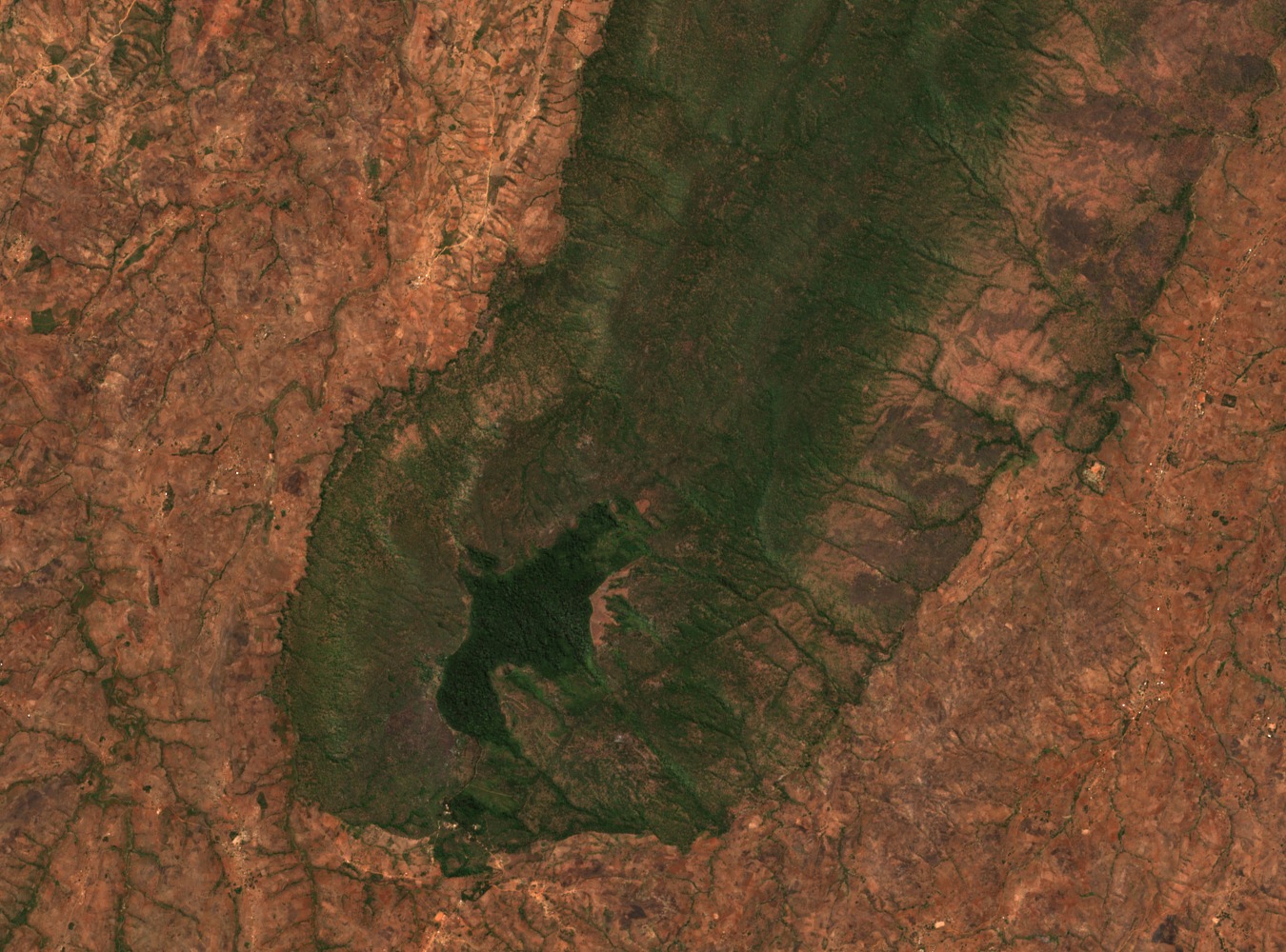
Montane Forest and Miombo Zones
Aningeria-dominated montane forest occupies the reserve between approximately 1,450 and 1,640 m, with Newtonia-dominated stands recorded on parts of the southeast slope. Miombo woodland characterised by Brachystegia species covers the northeast slopes at lower elevations. Flora field records from the reserve also document introduced pine alongside indigenous evergreen growth, reflecting the site's layered vegetation history.
Headwater Rivers of the Lifuliza, Dwazi, and Chafumbe
Three named headwater rivers originate within the reserve: the Lifuliza, Dwazi, and Chafumbe. The 2024 Key Biodiversity Area assessment published by the World Database of Key Biodiversity Areas identifies these watercourses as ecologically significant features of the site, linking the forest catchment to downstream drainage across the central plateau.
Allocnemis maccleeryi and the 2024 KBA Assessment
The 2024 KBA assessment records the damselfly Allocnemis maccleeryi at Ntchisi, a finding that contributed to the site's designation under the Key Biodiversity Areas framework. The assessed KBA boundary covers a distinct area from the 1924 gazetted reserve and carries its own spatial extent, so the two designations should be read as complementary rather than coextensive records of the same boundary.