
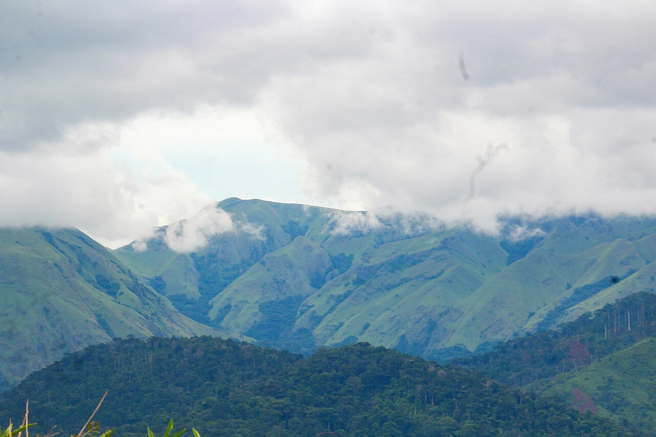
Geology of the Massif
Precambrian bedrock underlies the Nimba massif. Itabirite, a metamorphosed iron-bearing rock, is identified in Guinea's management plan as a component of the massif's geology, treated as a regional unit rather than a feature confined to any single point. The Guinea–Côte d'Ivoire portion of the reserve contains about 50 springs, a figure reported by UNESCO that reflects the hydrological productivity of the highland terrain.
Montane Ecology and Notable Species
Vegetation on the upper ridges is open grassland, transitioning into dense forest at lower elevations. Nimbaphrynoides occidentalis, the Nimba toad, bears live young. The reserve reports chimpanzees using stone tools. Both species are documented in UNESCO's characterization of the site.
Heritage Designation and Naming
UNESCO inscribed the reserve in Guinea in 1981 for its ecology and biodiversity, and extended the designation to include the Côte d'Ivoire sector in 1982. Guinea and Côte d'Ivoire jointly hold the World Heritage status. Liberia is part of the natural massif but falls outside the designated property. Guinea's management planning documents use the name Mont Richard-Molard for the 1,752 m high point on the Guinea–Côte d'Ivoire boundary.
Mining on the Massif
UNESCO records document historic mining activity on the Liberian portion of the massif, where iron ore deposits linked to the itabirite geology attracted extraction. That history is a recognized part of the site's management context as reflected in UNESCO documentation.