
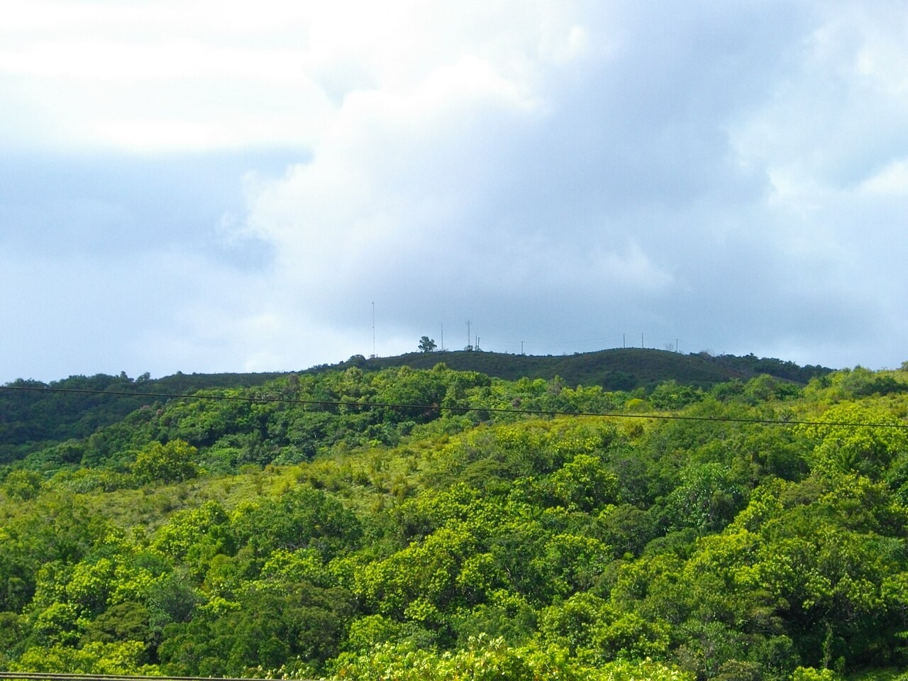
The high point of Babeldaob
Palau’s national climate report gives the summit as 242 m, while the Ngardmau protected-area plan cites a PALARIS figure of 230 m from 2011. Both identify the highest point in the country. The Smithsonian describes Ngerchelchuus as a prominent feature in the rolling terrain of volcanic Babeldaob.
A protected circle around a marker
Ngerchelchuus Ridge became a protected area in 2005. Ngardmau’s plan draws the boundary as a circle of about 50 acres around the fixed U.S. Geological Survey marker. The ridge joins several landscapes in the state’s Ongedechuul System of Conservation Areas, including the watershed of Taki Waterfall.
Woodswallows and a working summit
The conservation plan records a rare woodswallow known locally as mengaluliu. An earlier survey describes forest and savanna on the flanks, grass and exposed ground on the top, and four communications towers on the summit at the time.