
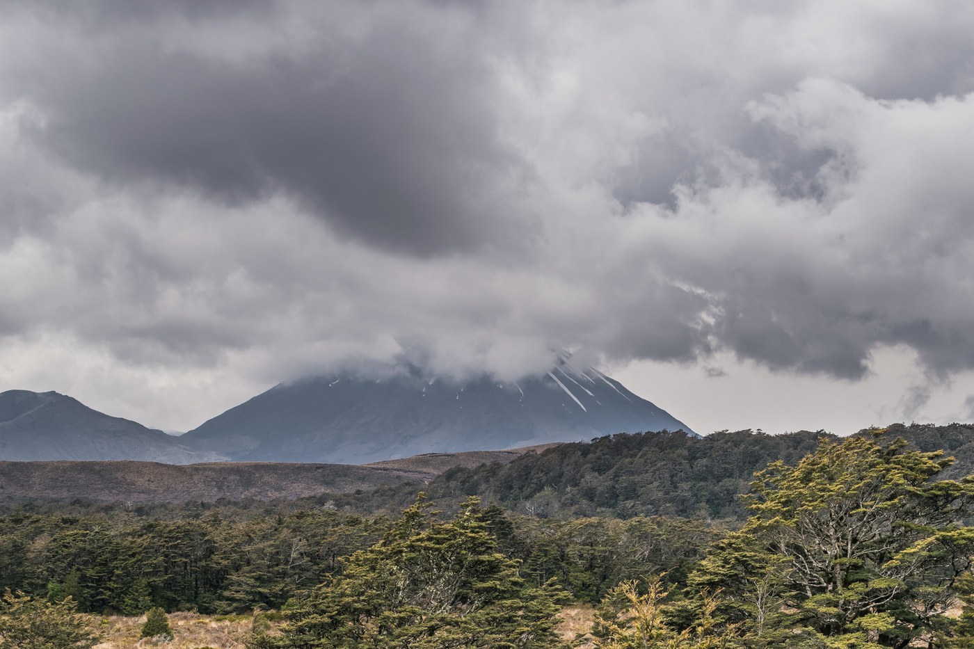
A Living Volcanic Landscape
Ngāuruhoe is part of the Tongariro volcanic complex, a grouping of active and recently active cones that together underpin the park's designation as a UNESCO World Heritage site for both natural and cultural values — one of a small number of sites globally to hold this dual recognition. The mountain last erupted in 1977 according to the New Zealand Department of Conservation, a date that places its most recent activity within living memory and is a reminder that the landscape here is geologically young and ongoing rather than fixed.
The volcanic character of the terrain shapes every aspect of Ngāuruhoe's form: its steep, near-perfect conical profile, the loose scoria of its upper slopes, and the stark colour contrasts between fresh and weathered lava flows. These are not merely scenic features but evidence of eruptive processes that have built and rebuilt the cone over thousands of years, contributing to a landscape whose dynamism is inseparable from its identity.
Ngāti Hikairo ki Tongariro and the Sacred Summit
For Ngāti Hikairo ki Tongariro, the iwi with deep ancestral connections to this volcanic landscape, the summits and alpine lakes of the Tongariro area — including Ngāuruhoe — are held as sacred. This relationship is not incidental to the park's heritage values but central to them: the original gifting of land that established Tongariro National Park in the late nineteenth century was made by the paramount chief Te Heuheu Tūkino IV precisely to preserve a landscape of profound cultural and spiritual meaning. The mountain's place within that living tradition predates and supersedes any other layer of significance that has since been attributed to it.
Keeping this foreground is essential to understanding Ngāuruhoe honestly. The mountain's profile was digitally altered for use in a major film production, lending it a secondary identity that has attracted considerable visitor attention. That association belongs to the history of the landscape's representation, but it sits alongside — and should not displace — the mountain's role in the living Māori world from which it has never been separated.
The Tongariro Alpine Crossing and the Mountain's Margins
The Tongariro Alpine Crossing, one of Aotearoa New Zealand's most-walked day routes, passes through the saddle between Ngāuruhoe and Tongariro without ascending the cone itself. The route's high point is Red Crater, a separate volcanic feature on the Tongariro side of that saddle. This distinction matters geographically: the crossing passes near Ngāuruhoe but describes an arc around its lower flanks rather than engaging with its summit, and the two experiences — traversing the crossing and ascending the cone — involve different terrain, different elevations, and different relationships to the sacred landscape.
The alpine lakes encountered in the vicinity of the crossing, including those in sight of Ngāuruhoe's slopes, are among the features that Ngāti Hikairo ki Tongariro regard as tapu. Their presence within a heavily visited recreational corridor creates a layered environment in which geological spectacle, recreational use, and cultural significance coexist — a tension that the park's dual World Heritage designation is specifically designed to hold in balance.