
The 1913 Boundary Survey Ascent
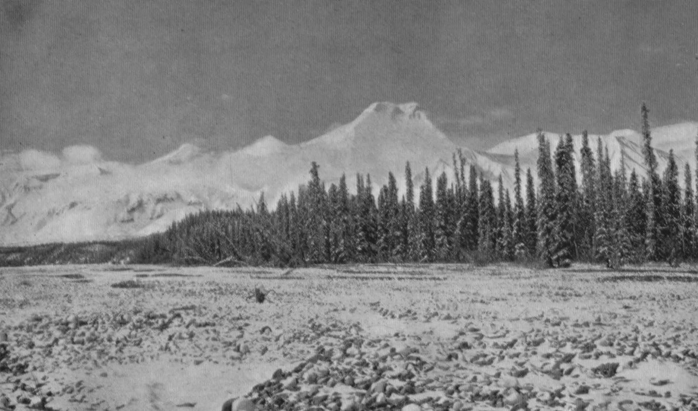
Howard Frederick John Lambart, known as Fred Lambart, and his party climbed Natazhat on 18 June 1913 while engaged in fieldwork along the 141st Meridian for the Alaska–Yukon boundary survey. Lambart recorded the ascent in his own account published in the Canadian Alpine Journal in 1914–15. That account includes a photograph taken from near the Kletsan River valley looking south toward the mountain.
Clouds prevented survey observations from the summit itself, undermining the operational purpose of reaching the top. The climb nonetheless stands as the first documented ascent of Natazhat and as one of several instances in which boundary commission surveyors made mountaineering history as a byproduct of geodetic work in the Saint Elias region.
Topographic Position and the 141st Meridian
The boundary survey party was working to tie survey points across glaciated terrain along the 141st Meridian, the land boundary between Alaska and Yukon. Natazhat's summit lies to the Alaska side of that line.
The 1996 Northeast Ridge
David Hart, Paul Barry, Harry Hunt, and Dave Lucey climbed the northeast ridge in April 1996. Hart's report on the ascent appeared in the American Alpine Journal in 1997.