
Volcanic Landforms and Drainage
The Smithsonian Global Volcanism Program classifies Mount Murray as a composite stratovolcano and assigns its last known eruption to the Pleistocene. The 1980 Bureau of Mineral Resources geological report covering the Kikori 1:250,000 sheet area describes this class of volcanic margins in the Karimui map area as characterised by volcaniclastic sediment, lahars, coarse fan deposits, and ash, with radial drainage incised into the flanks. The report describes these deposits for the group of volcanoes and their foothills in the area.
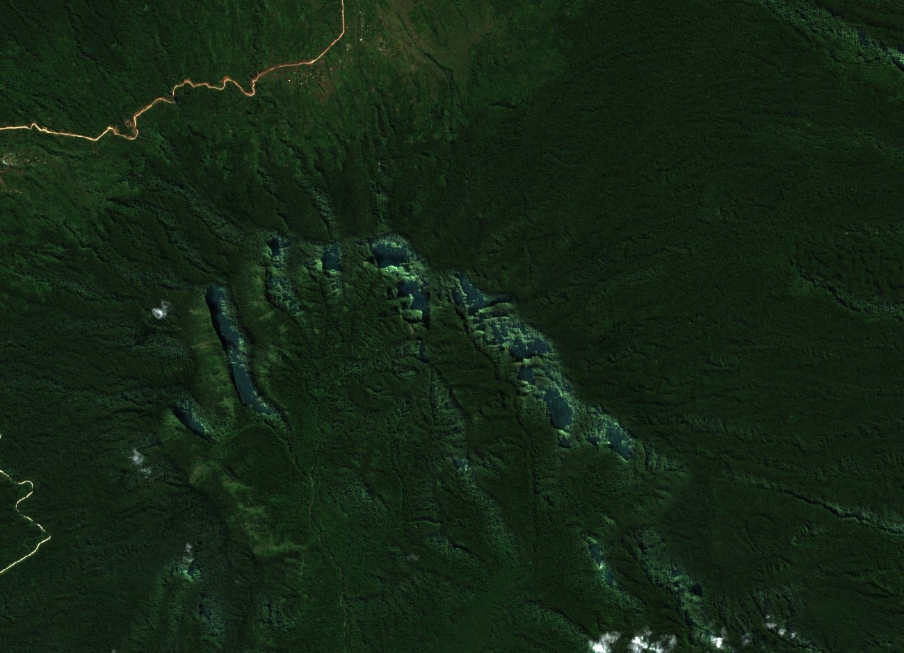
A 2022 Sentinel-2A satellite image shows forested ridges and incised valleys across the mountain's terrain. The natural-colour imagery makes the topographic structure visible but cannot distinguish individual rock units or volcanic deposits.
Colonial Expeditions and the Kikori Route
In 1908 the Mackay–Little expedition, moving west from the upper Purari in search of reported coal deposits, reached the mountain and applied the name Mount Murray in colonial records. In 1910–1911, an expedition led by Miles Staniforth Cater Smith ascended from the Kikori River side, reached Mount Murray, and continued into Samberigi territory. Chris Ballard's scholarship on the interior of New Guinea in this period draws on contemporary patrol reports to document the existing kinship, communication, and trading routes along the Kikori that predate and inform these expedition accounts.
In 1935, explorers Hides and O'Malley again used Mount Murray as a waypoint on a traverse from the Purari headwaters to the navigable Kikori. Jack Hides published an account of that journey the following year, in 1936.
A Lost Botanical Collection
The Naturalis Herbarium's historical collecting index records a small collection of mosses and ferns made at Mount Murray during the 1910–1911 expedition. The specimens were lost in accidents on the Kikori River before they could be studied, and no plants from the collection are identified to species. Who collected the specimens is uncertain.