
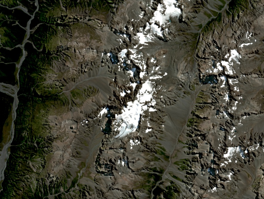
The Shaler Range Setting
Mount Murchison reaches 2,408 metres as the high point of the Shaler Range in Arthur's Pass National Park. The range rises sharply from the low saddle of Arthur's Pass, giving its summits marked prominence above the surrounding corridor. Murchison sits among a cluster of closely placed peaks distinct from the larger ranges farther south.
The 1913 Ascent by Ward and Talbot
The New Zealand Alpine Club records C. K. Ward and A. E. Talbot ascending Mount Murchison and the neighbouring Mount Harper in 1913 — the earliest named ascent in the club's record for this peak. The proximity of the two summits in the Shaler Range made a combined effort a natural single undertaking.
The Three-Summit Traverse from Carrington Hut
The Alpine Club also documents a traverse linking Murchison, Harper, and Speight in a single day from Carrington Hut. No date is given for this outing. The three are distinct named peaks along the Shaler Range ridge, and Carrington Hut, managed by the Department of Conservation, provides the staging point.