
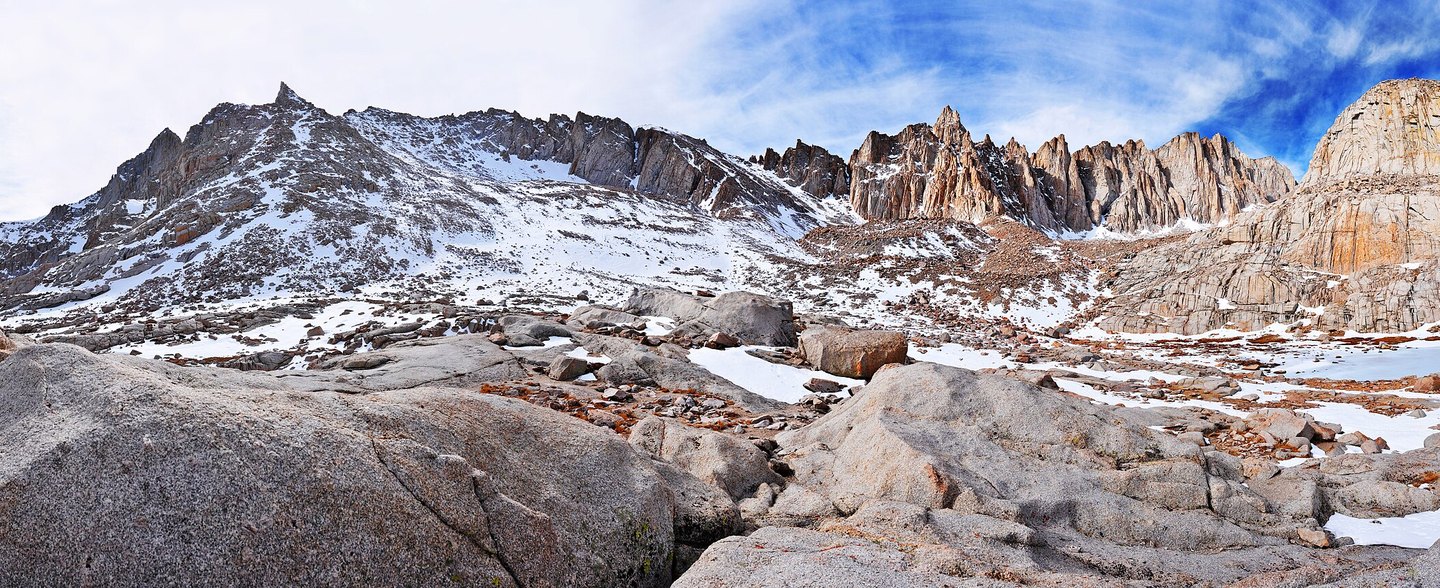
Named for John Muir
The summit bears the name of John Muir (1838–1914), writer and naturalist. The National Park Service documents his writing on the Sierra Nevada and his sustained work to secure protections for the region. The supplied record does not establish that Muir climbed this particular summit, and no such claim follows from his broader association with the range.
Situation on the High Crest
The GNIS record places Mount Muir on the boundary line between Inyo National Forest and Sequoia National Park, roughly 1.6 kilometers south of Mount Whitney. The two peaks are distinct summits within the compact cluster of high elevations that define this section of the Sierra crest.
Granite Country
The National Park Service describes the landscapes of Sequoia and Kings Canyon as shaped by glacial processes and by the granitic rock of the Sierra Nevada batholith, the large intrusive formation underlying much of the range's high country. Mount Muir sits within this broader geological setting. The supplied notes do not assign specific glacial features or rock strata to the summit itself.