
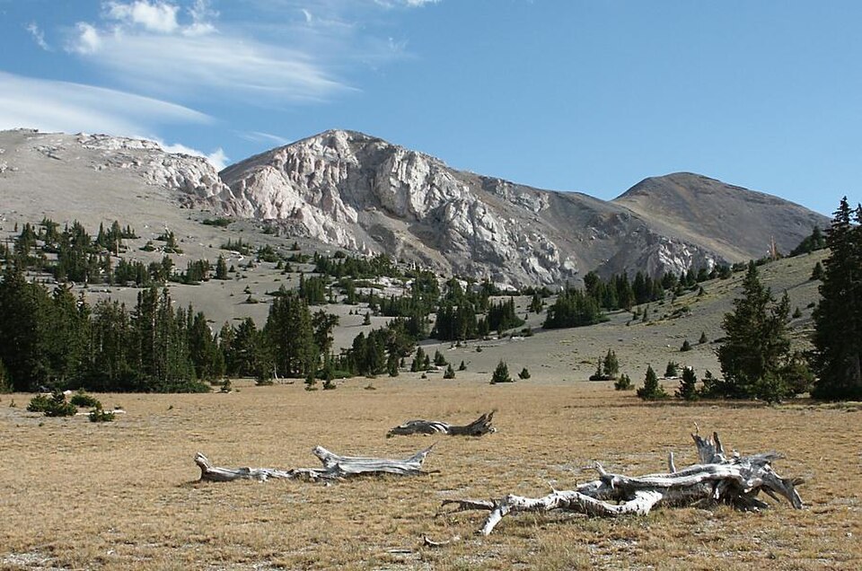
The Table and Its Subalpine Fringe
North of the summit lies The Table, a broad, lower plateau whose open subalpine terrain is edged by bristlecone and limber pines. The Forest Service identifies Prospect Mountain Quartzite as the plateau's surface rock, while limestone dominates the surrounding canyon walls—a contrast that reflects the range's layered stratigraphy rather than any single landform.
Faulting and Cave Formation
State geological mapping of the Mount Moriah quadrangle documents the northern Snake Range décollement, a low-angle fault that juxtaposes rock packages with differing metamorphic histories. Within the limestone terrain, caves have formed where water has dissolved the rock over time.
Wilderness and Summit Record
Congress designated the Mount Moriah Wilderness in 1989, encompassing the summit and the surrounding Snake Range terrain. Survey figures for the peak appear with slight variation across historical, Forest Service, and LiDAR sources, with modern catalogs converging on approximately 12,065 feet.