
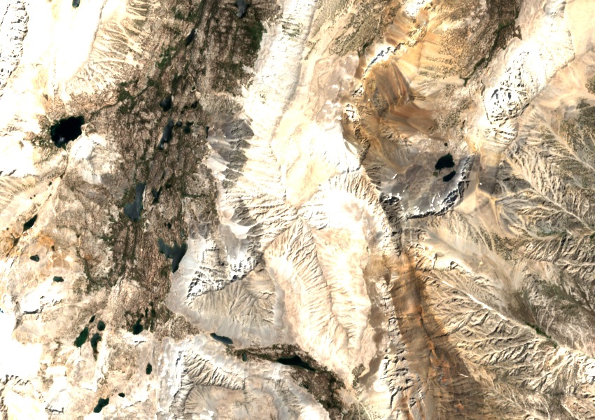
Rock Creek and Wheeler Crest
High cirques above Little Lakes Valley gather runoff that feeds Rock Creek. The ridge above the valley was the organising feature of the Sierra Club’s 1954 guide to this part of the Sierra Nevada, which recorded Francis Lake in the East Fork drainage as a waypoint. The same guide identified a separate, lower Mount Morgan in Mono County to the northwest.
A cairn and a survey tablet
The U.S. Geological Survey’s 1907 report records a cairn near the summit, possibly left by the Wheeler Survey in 1878. The surveyors left it in place and cemented their triangulation tablet into a nearby flat rock. Bearings to Mount Conness, Mount Lyell and other distant stations fixed the position of the summit.
From the ridge to the Owens River
The Upper Owens River basin assessment traces the divide from Tom’s Place along Wheeler Crest, over Mount Morgan and onward to Bear Creek Spire. Rock Creek drains into the Owens River system. A diversion near Tom’s Place also carries some of its water into Crowley Lake.