
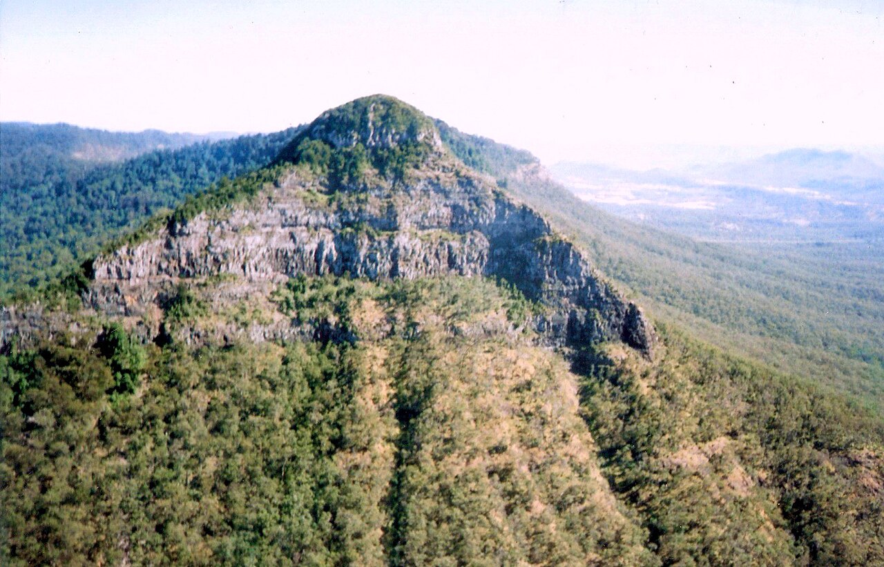
Landform and Ridge Character
Queensland Parks maps the East Peak at 1,175 m. A narrow ridge and steep cliffs mark the eastern end of the mountain. Across the gap stands Mount Cordeaux. Both are part of a landscape shaped by erosion of the former Main Range volcano.
Yugarabul Name and Colonial Survey Record
The mountain carries a Yugarabul place name recorded by the State Library of Queensland as Coonyin-nirra, while Queensland Parks uses the form Cooyinnirra. The gap was known to local Aboriginal people before European contact. Cunningham, who traversed the area in 1828, named the southern mountain in honour of Surveyor-General Thomas Mitchell, and his published account specifically noted the peak's elongated silhouette and twin points.
Reserve History and World Heritage Status
Protection of this landscape began in 1909 when the area around Cunninghams Gap was gazetted as Cunninghams Gap National Park, establishing one of the first formal reserves in what is now the broader Main Range park. The Main Range component was included in the Gondwana Rainforests of Australia World Heritage listing in 1994. The park shelters a mosaic of rainforest and eucalypt forest across the slopes of this mountain.