
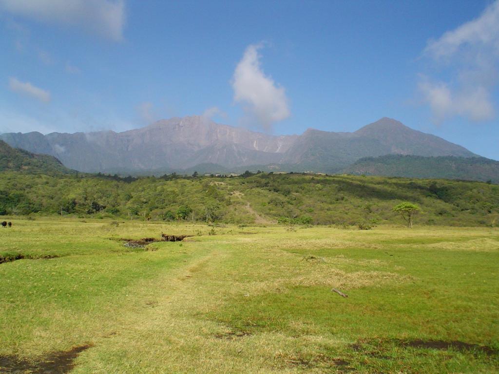
Two Faces of One Mountain
Seen from the west, Mount Meru presents a clean, conical silhouette typical of a stratovolcano. From the east, a roughly four-kilometre-wide collapse crater opens across the mountain's flank, exposing the raw interior of a structure once more complete. The Smithsonian Global Volcanism Program attributes this asymmetry to the Momella event, an early-Holocene collapse that fundamentally reorganised the mountain's eastern face. Tanzania National Parks records the summit elevation at 4,566 metres, while the Smithsonian Global Volcanism Program gives 4,550 metres, with both figures referring to the same peak.
Debris Avalanche and Lahars
The Momella collapse generated a debris avalanche whose deposits spread well beyond the mountain's immediate slopes. Associated lahars — volcanic mud and debris flows distinct from lava — extended in the direction of Kilimanjaro. Both the International Union of Geological Sciences and the Smithsonian Global Volcanism Program have documented the event, and the IUGS recognises the resulting deposits as a site of geoheritage significance, preserving a record of a high-energy mass-movement episode in the landscape around the mountain's base.
Later Activity Inside the Crater
Within the collapse crater, a feature called Ash Cone marks a later phase of volcanic activity; the Smithsonian records a reported small ash eruption at this vent in 1910. A separate vent on the caldera floor produced lava flows that spread across much of that floor, evidence of renewed effusive activity following the earlier catastrophic collapse. These post-collapse features sit physically inside the structure created by destruction, making the crater interior a compressed record of the mountain's successive volcanic phases.
Park Setting and Surrounding Landscape
Mount Meru stands at the centre of Arusha National Park, a protected area that Tanzania National Parks describes as encompassing forest, lakes, valleys, and smaller plains. The varied habitats around the volcano reflect the range of elevations and aspects across its slopes, from montane forest on the lower flanks to the open crater rim above.