
Fissure Geology and Recorded Eruptions
A fissure system cutting through the summit zone produced the Kopeng lava field across the northern slopes and the Kajor lava field across the southern slopes. The Smithsonian Global Volcanism Program catalogue records explosive activity at Merbabu in 1560 and again in 1797, the two confirmed eruptive episodes in the historical record.
Three Radiating Valleys
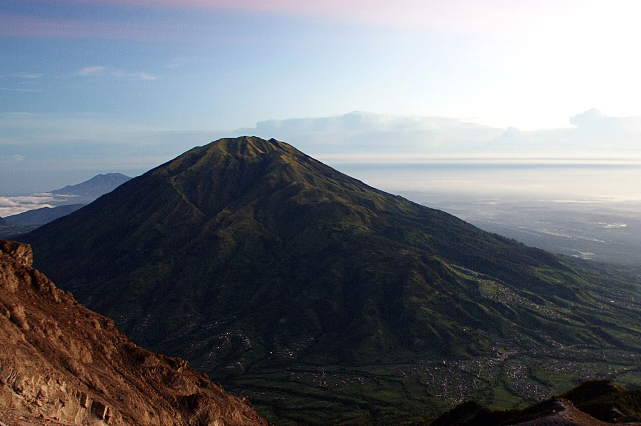
The northwest-trending valley drains toward the Kopeng area on the northern flank, the north-northeast valley opens toward the Semarang regency margin, and the east-southeast valley descends toward Boyolali. These three corridors channel drainage and shape vegetation across the upper mountain, giving Merbabu its spreading silhouette from the surrounding plains.
National Park and Regency Geography
A 2014 decree established Gunung Merbabu National Park at 5,820.49 hectares under Indonesia's Ministry of Forestry. The park boundary incorporates portions of Semarang regency to the north, Boyolali to the east, and Magelang to the west and south, reflecting Merbabu's position at the junction of three administrative territories.