
Geology and Landform
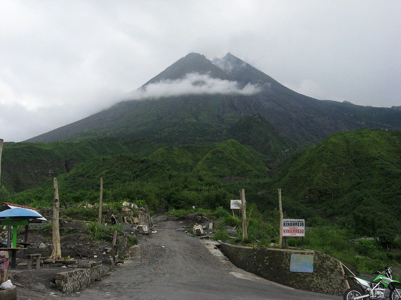
Merapi is a stratovolcano whose present form conceals a longer structural history. An earlier edifice, referred to as Old Merapi, grew over an extended period before ending in a major collapse that researchers tentatively date to roughly 2,000 years ago. That event left an arcuate scarp — a curved, cliff-like scar — cutting into older volcanic material known as the Batulawang formation. The cone visible today has been constructed largely since that collapse, through repeated episodes of viscous lava accumulating near the summit vent to form a dome, which then destabilises and breaks apart.
When a lava dome collapses, the sudden release of hot, gas-charged fragments produces pyroclastic currents — fast-moving mixtures of volcanic debris and superheated gas that follow drainage lines down the volcano's flanks. The river valleys radiating from the summit, particularly those on the southern and southeastern sides, have been shaped and repeatedly resurfaced by these events. The elevation of the summit itself is not a fixed figure: dome growth and collapse alter it continuously, and published survey values reflect the state of the mountain at the time of measurement. The Smithsonian Global Volcanism Program's February 2011 bulletin records a height of 2,910 metres, while other sources cite different figures; approximately 2,900 metres should be understood as a working approximation rather than a precise and stable measurement.
The 2010 Eruption and the Gendol Valley
The eruption sequence that began in late October 2010 is among the most intensively documented in Merapi's modern record. The Smithsonian's event table for that crisis runs from 26 October to 29 November 2010. Indonesian Ministry of Energy and Mineral Resources reporting describes a marked increase in seismic activity in the weeks preceding the climax, with earthquake frequency rising as magma moved toward the surface. The critical episode occurred on 5 November 2010, when dome collapse generated pyroclastic currents of exceptional scale.
Those currents channelled primarily down the Gendol valley on the southeastern flank, with reported runout distances of 15 to 16 kilometres — a figure that illustrates the reach these flows can achieve from a relatively modest summit elevation. The Gendol valley's course, already carved by earlier volcanic activity and normal river erosion, became the primary conduit for the event's most destructive energy. The 2010 eruption has since become a central reference point in volcanological literature on dome-collapse dynamics and in Indonesian public memory of the mountain's capacity for rapid, large-scale change.
Name, Identity, and Regional Context
The mountain's full name in Indonesian is Gunung Merapi, with Gunung meaning mountain or volcano. The name itself is commonly translated as "Mountain of Fire." A point of geographic precision matters here: this is the Merapi of Central Java and Yogyakarta, located at approximately 7.54° S, 110.446° E, and it is a distinct volcano from two other Indonesian peaks that share similar names — Gunung Marapi on Sumatra and a separate Merapi associated with the Ijen volcanic complex in East Java. The Central Javanese Merapi is the volcano most frequently referenced in international volcanological literature and the one catalogued under number 263250 in the Smithsonian Global Volcanism Program.
The mountain holds a position of deep significance in Javanese cosmology. Sultan Mangkubumi arranged Yogyakarta's north–south axis in 1755, aligning the palace with Mount Merapi to the north and the Indian Ocean to the south — a cosmological ordering in which the mountain figures as a home of guardian spirits. The communities on Merapi's slopes maintain a body of knowledge, ceremony, and lived practice oriented around the mountain's behaviour, a cultural landscape that has developed in close parallel with the geological one. The historic city axis and its associated landmarks were inscribed as UNESCO World Heritage in 2023.
Eruptive Character and Ongoing Study
Merapi's eruptions are predominantly driven by the extrusion of andesitic magma — relatively silica-rich, viscous material that resists flowing freely and instead piles up at the vent as a dome. The dominant hazard mechanism is the gravitational or pressure-driven collapse of this growing dome, sending pyroclastic density currents down the flanks. This behaviour caused severe destruction in the 2010 eruption, one of the most deadly in the volcano's recent history, and the pattern has recurred across the geological record. The deeply incised radial valleys that give the mountain its characteristic flanked profile reflect this long history of dome-forming activity.
The combination of Merapi's frequent activity and the density of human settlement on its flanks has made it a subject of sustained scientific attention. Indonesian volcanological authorities maintain continuous surveillance, with seismic and visual observations providing an ongoing record of dome growth and collapse. International research partnerships have contributed decades of geodetic and geochemical data, yielding detailed understanding of the mountain's interior processes.