
Landform and Setting
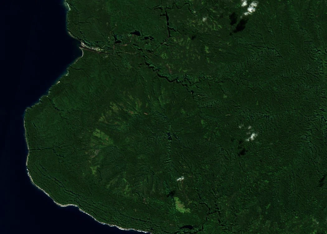
In the Global Volcanism Program’s catalogue, Melkum is an eroded stratovolcano. It lies to the west of Pumpan, a separate volcanic centre. The Sentinel-2B photograph from 23 June 2026 shows the forested volcanic slopes of western Erromango and their relationship to the coast.
Volcanic Stratigraphy
Hervé Bellon and colleagues described three layers on Melkum’s western flank in 1984. The lowest contains material from eruptions that was later moved and deposited again. Above lies a flow of ankaramite, a volcanic rock rich in olivine and pyroxene. The team dated a sample of it to 4.09 million years ago and another sample, from the basalt above it, to 2.56 million years ago. Both ages were obtained using the potassium–argon method.
In 2020, Karsten Haase and colleagues included the earlier dates on a map of Erromango prepared for a study of the wider Vanuatu island arc. It labels the Melkum unit at roughly 2.6 to 4.1 million years old and maps the neighbouring Pumpan unit separately.
Geological Survey Record
H. Colley and R. P. Ash’s 1971 geological survey set out the island’s rock sequence. Later sampling added ages to the order seen in the field. At Melkum, the dated flows show that molten rock covered the same part of the mountain during different periods of its history.