
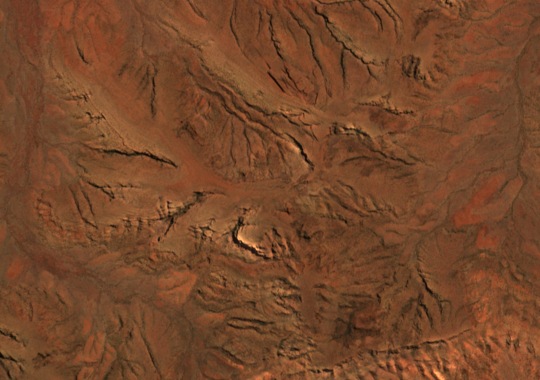
Position in the Hamersley Range
Mount Meharry rises to 1,249 m in the eastern part of Karijini National Park, within the Hamersley Range of the Pilbara. The summit sits atop a broad ridge above elevated plateau country, adjacent to the deeply incised gorge systems for which the park is widely known.
Summit Ridge and Landform
The park's planning documents describe the Hamersley landscape as raised plateau surfaces contrasting with lower valley floors cut by gorge systems. The Mount Meharry ridge follows this pattern, marking a clear high point above surrounding terrain. Its form differs from the sheer gorge walls elsewhere in the park, presenting open elevated ground rather than vertical exposure.
Vegetation of the High Country
The DBCA field guide records that plant communities on Hamersley Range summits differ markedly from those on slopes and plains below. Kingsmill's mallee has been recorded along the Mount Meharry ridge as part of this high-country flora. The ridge represents one of the more prominent examples of upland plant community within the park.