
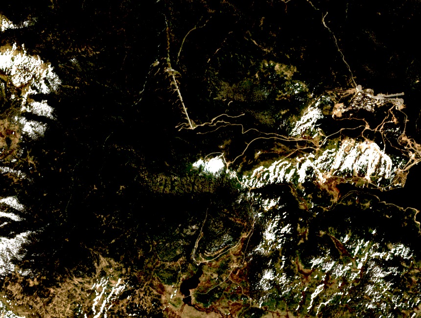
A Summit Distinguished from Its Neighbours
Victorian topographic mapping identifies Mount McKay as a distinct summit, separate from both the Falls Creek alpine resort and Rocky Valley Storage reservoir. All three features sit in close proximity on the high plains. The mountain reaches approximately 1,845 m, predating the engineered infrastructure that now surrounds it.
The Kiewa Scheme and High Plains Access
The Kiewa hydroelectric works brought major construction to the Bogong High Plains during the mid-twentieth century. Access roads built for the scheme reached lower slopes of the Falls Creek area, as documented in the Australian Mountains historical ski lift directory. This infrastructure extended what was reachable on the high plains and preceded resort development.
Early Skiing and Mount McKay's Slopes
Falls Creek's first ski lifts began operating in the early 1950s. Historical ski planning recorded in the Australian Mountains directory identified Mount McKay's open slopes as terrain under consideration for expansion. No specific proposed lift on the mountain is confirmed as built, and the summit served no function in the hydroelectric system.