
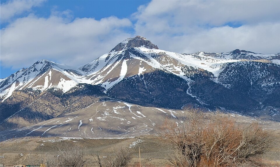
Survey Station and Summit Distinction
The 1913–15 triangulation report designates the McCaleb station as unoccupied, with a small monument serving as the station mark. Guide authors distinguish the true summit, estimated at approximately 11,680 feet, from a lower subsidiary point carrying an 11,592-foot benchmark, two separate features on the same spur that should not be conflated.
Fault Scarps and Valley Topography
USGS mapping identifies fault scarps and slope deposits along the valley and lower slopes below the mountain. The range front's height above the Big Lost River valley reflects repeated extensional faulting and accumulated normal fault slip over geological time.
Position Along the Range
A McCaleb table from the 1913–15 survey period lists bearings from the McCaleb station to Mackay, Porphyry, Jerry, and Crawford, pairing directions between those points so that surveyors could tie together mountain and valley landmarks across the central Idaho ranges.