
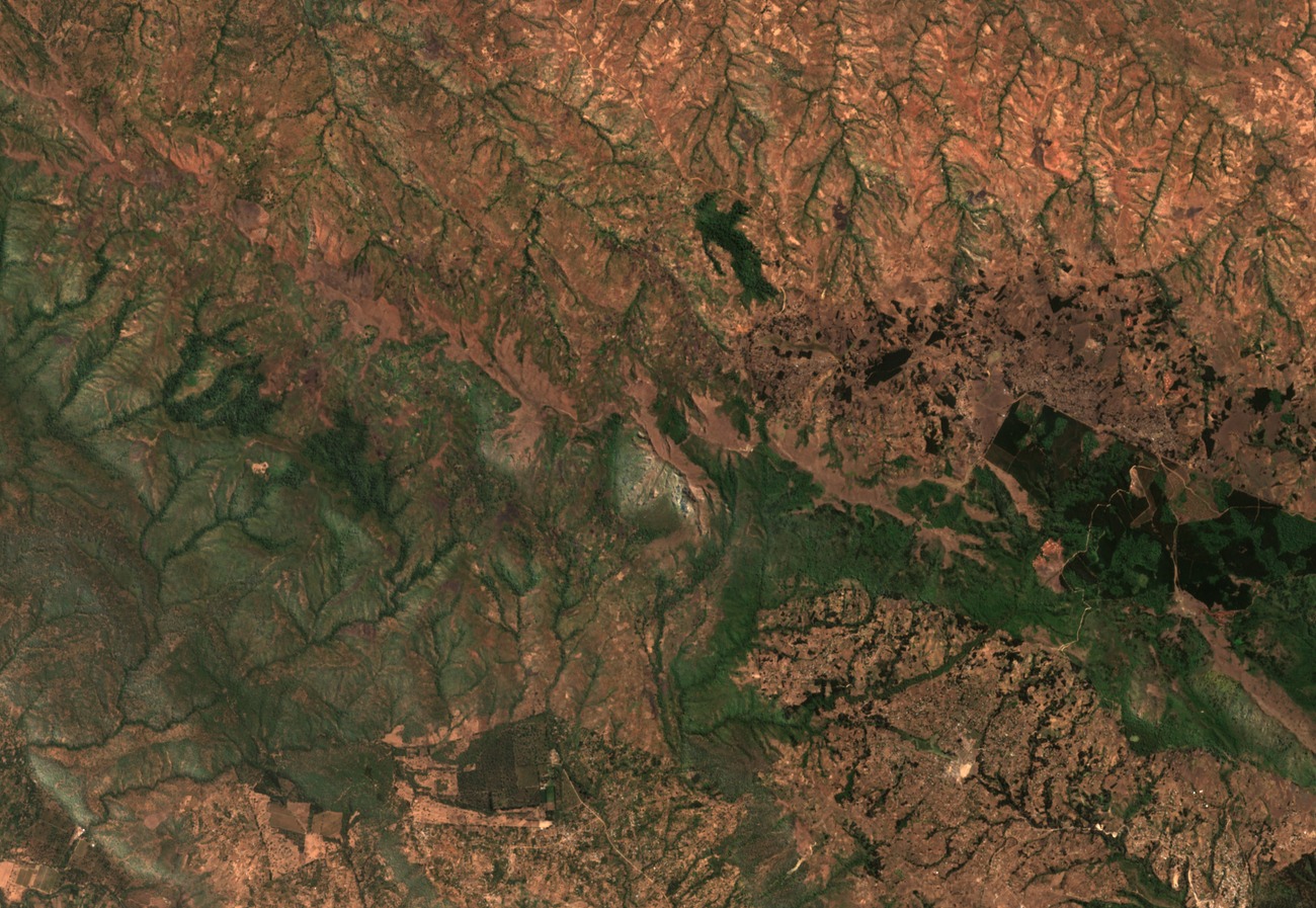
Summit and Range Topography
Mount Mbeya rises above 2,800 metres. The Tanzania National Bureau of Statistics 2012 table lists the high point at 2,826 m, though figures in other sources vary. Some inventories record the survey point as Mbeya/Loleza, while others list Mbeya Peak and Loleza as separate entries within the Mbeya Range system.
Geology and Regional Setting
The Royal Museum for Central Africa holds the Tanzania Geological Survey's Mbeya sheet at a scale of 1:125,000, which maps the structural and lithological context of the range. Southwestern Tanzania's mountainous topography reflects a combination of volcanic materials and rift-related faulting. The African Development Bank's geothermal assessment for Mbeya and Songwe regions identifies the Mbeya and neighbouring Mporoto ranges within a zone of geothermal interest.
Forest Reserve and Vegetation Research
Tanzania Forest Services lists the Mbeya Range within its reserve inventory, documented in the agency's 2019 Ecological Potential report. The agency's separate reserve records cover the Loleza area and provide site-level ecological data for the range without generalising findings across the full massif.