
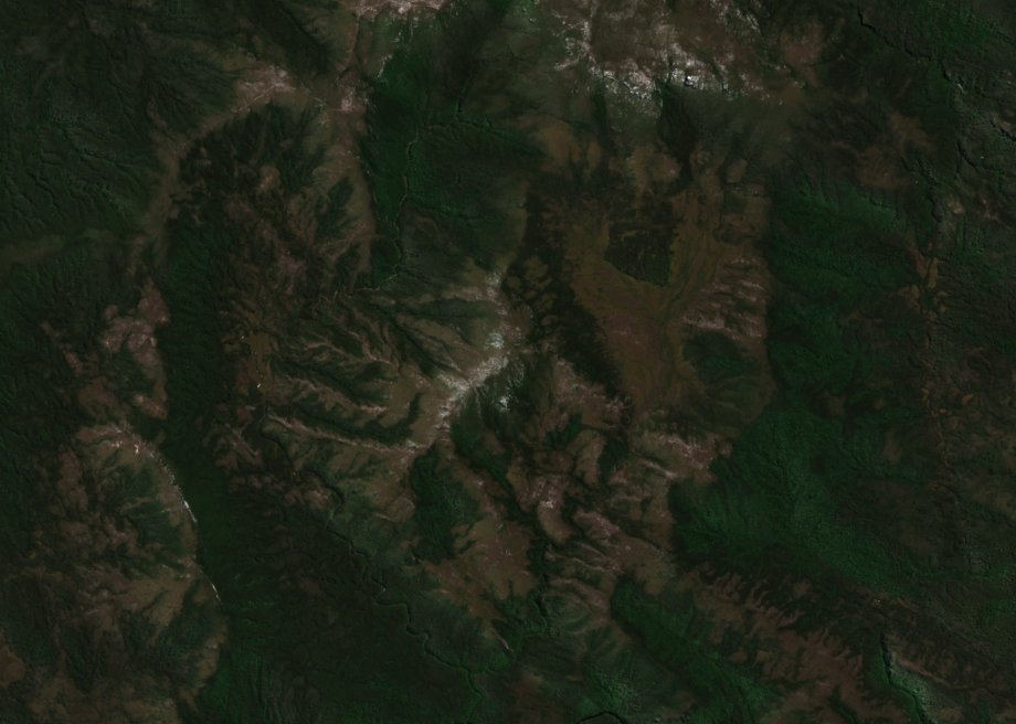
A ridge above the Franklin
Tasmania’s place-name register dates the gazettal of this Mount Mary to 1958. The state’s topographic map marks an observed spot height of 1,012 m inside the closed 1,000 m contour. Mary Creek and Maud Creek drain the lower slopes in the Franklin catchment. The separately registered Mount Mary in the Huon Valley lies farther southeast.
A 2021 structural geology survey by Gray and Vicary places Mount Mary explicitly on the western skyline of a panorama taken from Donaghys Lookout across the Franklin River, alongside Wards Bluff. A field photograph in Alan Spry’s 1957 paper shows the Mary Creek Plain at the foot of the mountain from the northeast. The December 2024 satellite image reveals the curve of the summit ridge and the branching valleys from above.
Reading the rock layers
Spry's 1957 Royal Society of Tasmania study established the foundational stratigraphic vocabulary for this area, distinguishing the Joyce, Mary, and Franklin rock groups, naming the Mary Anticline, and mapping quartzite and phyllite units with differing degrees of metamorphism in neighbouring strata. Gray and Vicary's 2021 Mineral Resources Tasmania report revisited the Central Tyennan structural model and reinterpreted the low-grade quartzites and phyllites as the Fincham–Mary metamorphic sheet, lying beneath the higher-grade Franklin–Joyce sheet. Their analysis situates these rocks within an Early Neoproterozoic sequence shaped by regional Cambrian tectonic events and subsequent Devonian refolding. Erosion later exposed portions of those folded rock layers in the mountain landscape.
A specific specimen from Spry's 1963 American Journal of Science paper sharpens the interpretive challenge. Quartzite sample 6225, collected from Mount Mary whose quartz grain orientations appear in Figure 3i of that publication, contains rib-like surface traces whose origin Spry found genuinely ambiguous — they could represent original current ripples formed during sediment deposition, or tectonic structures imposed later by deformation. Spry favoured an origin in sediment because he found well-preserved ripples of similar size and shape close by. Those nearby surfaces supplied evidence the individual specimen could only suggest.
Protection of the Franklin catchment
Franklin–Gordon Wild Rivers National Park was among the parks inscribed in the Tasmanian Wilderness World Heritage area in 1982. UNESCO recognises both the natural landscape and its Aboriginal cultural heritage. In 1983, the High Court upheld the federal powers used to stop construction of the proposed Gordon-below-Franklin dam, protecting a river system whose headwater landscapes include Mount Mary.