
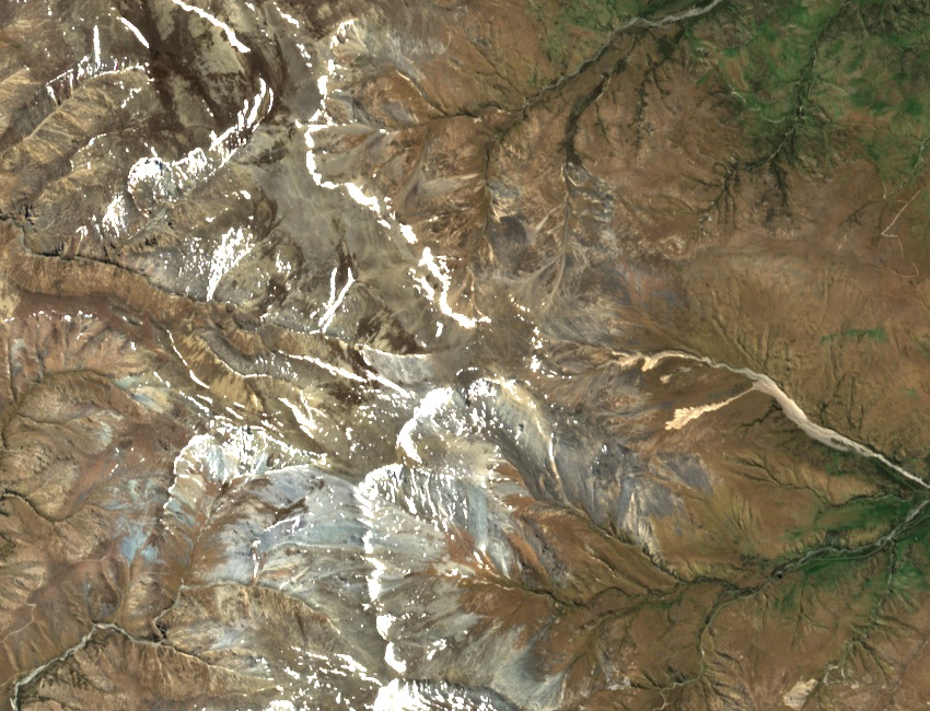
Landform and rock
The St Marys Range is shaped by block faulting, which produces the gently sloping tops and steep-sided gullies that characterise the uplands here, as documented in the Department of Conservation's conservation inventory. Much of the local bedrock belongs to the Mt St Mary Formation, a sequence of greywacke and fine clay-rich argillite. Near the head of Awahokomo Creek this formation includes fossil-bearing beds, though the rock types are not uniform across the full extent of the range.
Tracing the fossils uphill
In 1880 Alexander McKay found fossil-bearing boulders in gravels on the south side of the Waitaki River and traced them upstream along Awahokomo Creek. He considered whether ice had carried the boulders across the valley. James Park followed the stream farther in 1903, then returned with Augustus Hamilton. They found fossils embedded in the bedrock near the headwaters, establishing that fossil-bearing rocks also occurred locally.
Park’s paper was read in October 1903 and published in 1904 in the Transactions of the New Zealand Institute, with Mount Mary in its title. It describes shells flattened within the rock. Among the fossils from the high outcrops were brachiopods, marine animals with a pair of shells. They belong to a different animal group from clams.
A faulted contact and a revised reading
In 1960 H. S. Gair and D. R. Gregg traced the St Mary Fault to Awahokomo Creek. Park had read the contact between sedimentary rock and schist as part of a continuous stratigraphic sequence; the fault discovery showed the boundary was structural, meaning the schist protolith could be appreciably older than the sedimentary beds beside it. Fossils securely tied to the Awahokomo locality were placed in the Kaihikuan stage, broadly Middle Triassic in age.
In the same year, palaeontologist I. G. Speden examined specimens previously attributed to the site. The rock and fossil preservation indicated that some of these specimens probably came from a different locality, in younger Jurassic beds. Speden’s map and the modern LINZ stream network help place the fossil localities in the upper Awahokomo basin.