
Recorded Elevations
The Smithsonian Global Volcanism Program records Marsabit at 1,707 metres. The National Museums of Kenya, in its 2023 UNESCO tentative submission, gives the park setting as 1,703 metres and the volcano summit as 1,865 metres.
Eruptive History
Marsabit's main shield formed during the Pliocene. Quaternary activity followed, producing explosive maars and further lava flows across the volcano. The Smithsonian records 22 maars and approximately 180 cinder cones. One lava flow has been dated to 68,000 ±16,000 years, and the Smithsonian reports evidence of younger flows.
Craters and Montane Forest
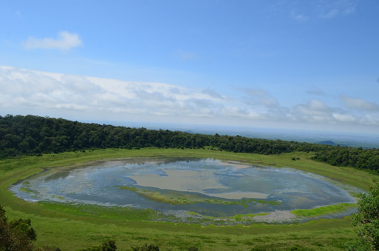
Marsabit rises from the arid plains of northern Kenya and supports a montane forest on its upper slopes. The Kenya Wildlife Service describes the volcano's craters as gofs. Lake Paradise, known as Gof Sokorte Guda, occupies one of the volcano's maars. Marsabit National Park, managed by the Kenya Wildlife Service, encompasses the volcanic massif and its associated habitats.