
Central Cebu Ridgeline
The Balamban municipal profile describes the local landscape as dominated by steep-sided ridges separated by abrupt valleys, a topography that shapes Mount Manunggal on all approaches. The 1,003 m figure derives from that municipal record; a figure of 1,097 m in the Sunog barangay profile refers to barangay elevation, not to a surveyed mountain summit.
The Aircraft and 17 March 1957
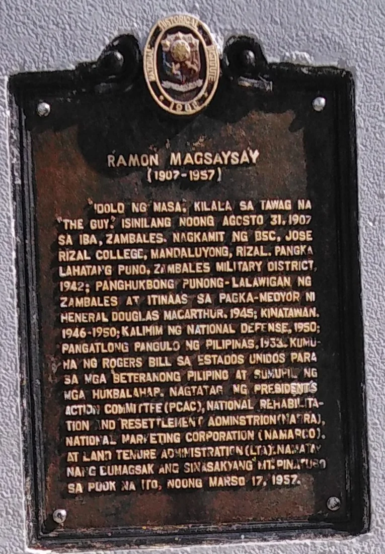
On 17 March 1957, an aircraft named Mt. Pinatubo — the name belonging to the plane itself — struck Mount Manunggal while carrying Philippine President Ramon Magsaysay, who died in the crash. The National Historical Commission of the Philippines has placed a marker at the crash site in Balamban commemorating Magsaysay, with the NHCP plaque recording that precise date.
Heritage Documentation
The National Commission for Culture and the Arts has entered Mount Manunggal in its heritage registry, treating the crash location in Balamban as a site of cultural patrimony within the Visayas region. The NCCA record and the NHCP marker represent two independent institutions that have each formally recognised the mountain in connection with the events of 1957.