
A Contested Naming Record
The federal gazetteer records a 1953 descriptive naming proposal submitted by Ollie A. Trower. Historian John Schandelmeier, reviewing the original application and accompanying sketches, has argued that the peak Trower was describing may in fact be the summit now identified as Mile High Peak. This remains an interpretive position: the registered Mount Magnificent is a separately identified feature in GNIS, the Alaska State Parks trail plan, and park access documents, and Trower's proposal does not contain a claim that she climbed either summit.
Alpine Terrain and Park Context
Alaska State Parks documents show the mountain's slopes forming a transition between the developed Eagle River area and the alpine zone above. The official Chugach State Park trail plan maps this connection as part of the park's broader access framework, situating Mount Magnificent within a western Chugach landscape that grades from forested valley edges into open alpine terrain at elevation.
Skyline Position
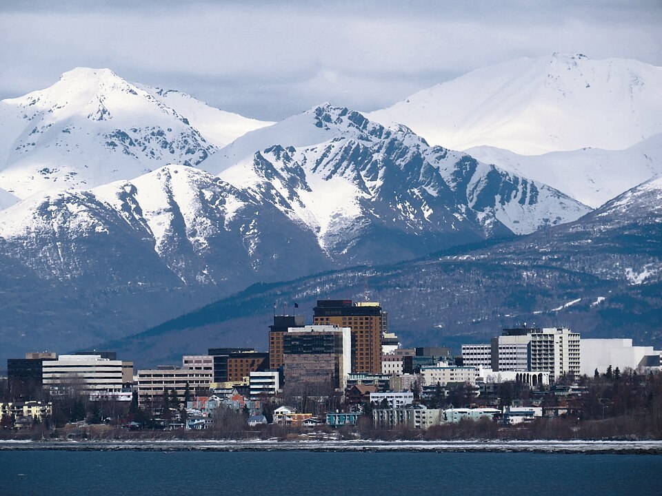
Photographs taken from the Anchorage side place Mount Magnificent at the center of the Chugach ridgeline visible from the city, with Mile High Peak appearing at the upper right. This skyline orientation distinguishes the two summits visually and corresponds to the geographic separation documented in both the state trail plan and the federal gazetteer record.