
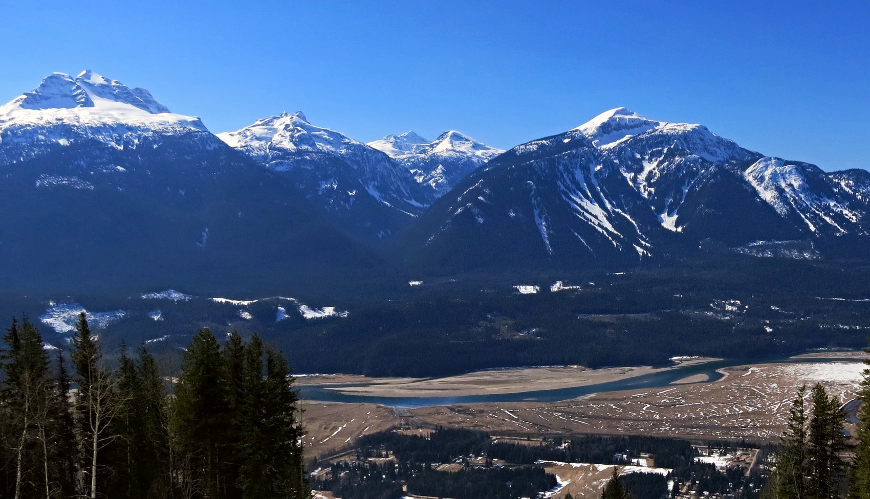
A summit across the Columbia
Mount Macpherson is part of the Gold Range in the Monashee Mountains. The Columbia River runs through the Selkirk Trench, separating the Monashees to the west from the Selkirks to the east. Geologist David M. Baird placed Macpherson high on the south side of the steep valley that extends west from town. In Bill Rand’s 2013 panorama it is the rounded summit on the right, with Mounts Begbie, Tilley and English to its left.
A name from the railway era
An order in council adopted the name on 4 April 1887. It was one of five names honoring people associated with Canada’s transcontinental railway. Sir David Macpherson served as Canada’s minister of the interior from 1883 to 1885. The Geographic Board reaffirmed the spelling Mount Macpherson on 30 June 1906.
Two skiing histories
In 1964, pilot Mike McDonagh flew three local skiers to the summit. They took four hours to ski back to the valley. Tourism Revelstoke records it as the town’s first heli-skiing outing. At lower elevations, the Revelstoke Nordic Ski Club maintains a different tradition rooted in local skiing records from 1891. In 2014, the club installed lighting along six kilometres of cross-country trails on the mountain.