
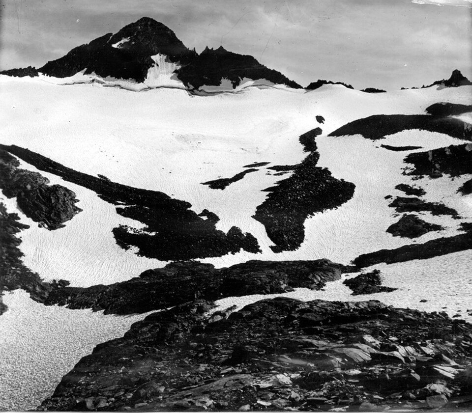
William Maclure and the Peak
The summit honors William Maclure, whose contributions to early geological science are reflected in the naming of Sierra Nevada features. The official spelling is preserved in the USGS record. The peak sits within Yosemite's high backcountry, its glacier occupying the slopes below the summit.
Muir, Clark, and the 1872 Measurements
In 1872 John Muir and Galen Clark drove stakes into the Maclure Glacier to observe whether the ice was moving. Over 47 days, Muir recorded a rate of approximately 2.5 centimeters per day, providing evidence that the glacier was flowing ice rather than stationary seasonal snow.
Repeated Measurements in 2012 and 2022
Researchers repeated comparable stake measurements on the glacier in 2012 and 2022. The 2012 observation period yielded a rate of approximately 2.5 centimeters per day; the 2022 period recorded approximately 1.9 centimeters per day, a change in measured speed between the two observation periods.