
Landform and Bedrock
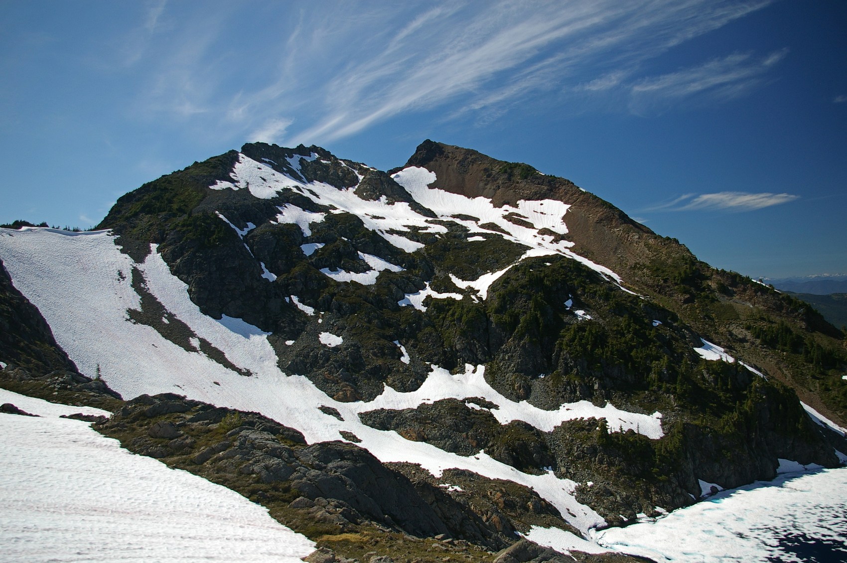
The mountain rises within a section of the Skagit Range where BC Geological Survey mapping has documented more than 1,500 metres of vertical relief between the Nesakwatch valley floor and the MacFarlane summit area. That relief is expressed in steep ridgelines and exposed rock faces; a photograph taken on 4 September 2011 by Tim Gage shows the summit's characteristically rocky upper slopes with late-summer snow clinging to adjacent terrain.
In the Mount MacFarlane–Mount Pierce area, geological mapping traces a contact where magma from the Chilliwack batholith intruded into much older rock. Surveyors can follow that boundary across the area’s outcrops, even where it is hard to tell the rocks apart from a distance.
Postglacial Valley
A 2015 peer-reviewed study of Chilliwack River morphodynamics used the valley below the summit area to reconstruct what occurred as the Fraser ice lobe retreated around 13,000 calendar years ago. When that ice mass withdrew, it released the downstream blockage that had been impounding water and sediment, and the river subsequently began cutting down through the gravel, sand, and finer material that had accumulated in the valley during the glacial period.
Near Slesse Creek, Larson’s Bench is one remnant of the sediments that once filled the valley. Its terrace stands above the modern channel, marking an earlier floor before the river cut its present course.
Naming and Commemoration
The Government of British Columbia formally adopted the name Mount MacFarlane on 7 April 1955 to honor Ronald Ernest MacFarlane, a Flight Lieutenant in the Royal Canadian Air Force. MacFarlane was from Chilliwack — the same community whose river and regional geography define the mountain's setting — making the toponym a deliberate local commemoration. He died on 16 December 1943 at the age of 21 and is buried at Lemsterland General Cemetery in the Netherlands.