
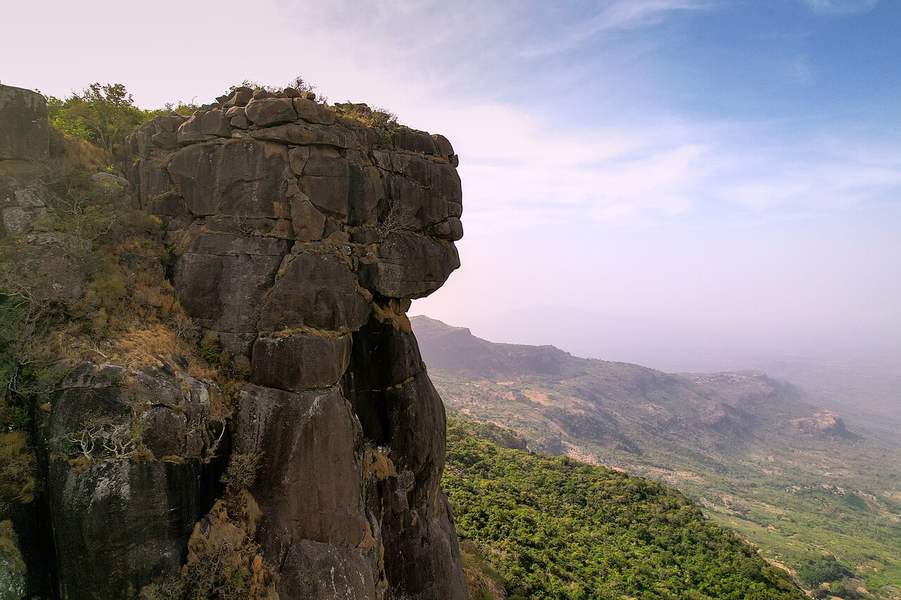
Bare Dolerite Scarp of the Mali Plateau
The upper face of Mount Loura exposes bare dark dolerite, the igneous rock that defines the Mali plateau's high scarp and gives the summit area its distinctive appearance. Guinea's government geographic profile describes this rock face as a landmark feature of the northern Fouta Djallon, where the dolerite cap stands clear of the surrounding sandstone terrain and creates pronounced local relief along the escarpment edge.
The Dame de Mali in the Summit Area
Within the summit area, a rock formation on the ridge carries the name Dame de Mali, a figure recognised in the landscape of the upper scarp. The formation is documented as a named landform in this setting and contributes to the character of the site as recorded in Guinea's geographic sources.
Bantala Headwaters at Elevation
A 1992 hydrological monograph published by the IRD places the source of the Bantala near 1,500 metres on the mountain and records seasonally active channels in the upper catchment. This high-altitude drainage originates directly from the Loura massif and represents a distinct component of the water system documented for this part of the Fouta Djallon.